1863: Camp Ford
Tyler in the Civil War: an ordnance plant and a prison camp.
The record
1862
Gunsmiths J.C. Short and William S.N. Biscoe, with Col. George Yarbrough, found an ordnance plant in a two-story brick building on a 125-acre site, to make 5,000 rifles for Texas. It is sold to the Confederate government in October 1863.1
During the war
The Handbook of Texas calls it the largest Confederate ordnance plant in Texas; a 1965 state marker on the courthouse grounds calls it the largest west of the Mississippi.23
July 21, 1863
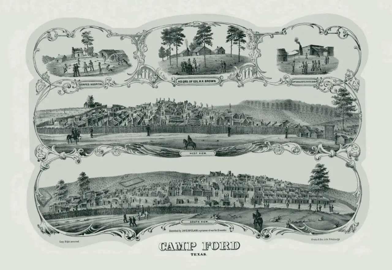
Camp Ford, a conscript-training camp four miles northeast of Tyler since 1862, named for Col. John S. (Rip) Ford, is ordered made a prison camp. It was the largest Confederate prison camp west of the Mississippi.42
After mid-1863
Tyler is the transportation headquarters of the Confederacy’s Trans-Mississippi Department, according to the 1968 City of Tyler marker on the courthouse lawn.5
1864
The stockade, built in November 1863 beside a spring, is doubled in size after about 3,000 prisoners arrive in April 1864; it holds 4,725 men that spring.4
1864
Under Lt. Col. G.H. Hill the ordnance plant has 150 to 200 workers; in three months of 1864 it makes 394,156 cartridges, 411 rifles and 3,531 canteens.6
May 17, 1865
About 6,000 prisoners were held at Camp Ford over two years, and 286 died there. The last 1,200 leave for Shreveport; that July a Union cavalry detail destroys the compound.7
1936 and 1969
A 1969 marker near the ordnance plant’s site stands in Bergfeld Park at South College and Fourth Street. A 1936 Texas Centennial marker titled ‘Confederate Arms Factory’ stands at Mockingbird Lane and Robertson Street.18
Today
The stockade’s site is Camp Ford Historic Park, owned by Smith County and managed by the Smith County Historical Society, on US Highway 271 about 0.8 miles outside Loop 323. It is free, dawn to dusk.9
A picture
Notes
THC Atlas, historical marker 7763: Near Site of C.S.A. Ordnance Plant (1968 text, 1969 marker) (atlas.thc.texas.gov). Research notes
Handbook of Texas: Tyler, TX (tshaonline.org); Handbook of Texas: Camp Ford (tshaonline.org); National Register of Historic Places nomination, Brick Streets Neighborhood Historic District (Texas Historical Commission Atlas) (atlas.thc.texas.gov). Research notes
THC Atlas, historical marker 7759: Smith County, C. S. A. (1965) (atlas.thc.texas.gov). The Handbook calls it the largest Confederate ordnance plant in Texas; the 1965 marker says the largest west of the Mississippi River. Research notes
Handbook of Texas: Camp Ford (F. Lee Lawrence) (tshaonline.org). Research notes
THC Atlas, historical marker 7762: City of Tyler (1968) (atlas.thc.texas.gov). Research notes
THC Atlas, historical marker 7763: Near Site of C.S.A. Ordnance Plant (1968 text, 1969 marker) (atlas.thc.texas.gov). Research notes
Handbook of Texas: Camp Ford (F. Lee Lawrence) (tshaonline.org). Research notes
THC Atlas, historical marker 7714: Confederate Arms Factory (1936) (atlas.thc.texas.gov). Research notes
Smith County Historical Society, Camp Ford Historic Park (smithcountyhistoricalsociety.org). The same Historical Society page also lists the park at 6600 US Highway 271. Research notes
About this plate
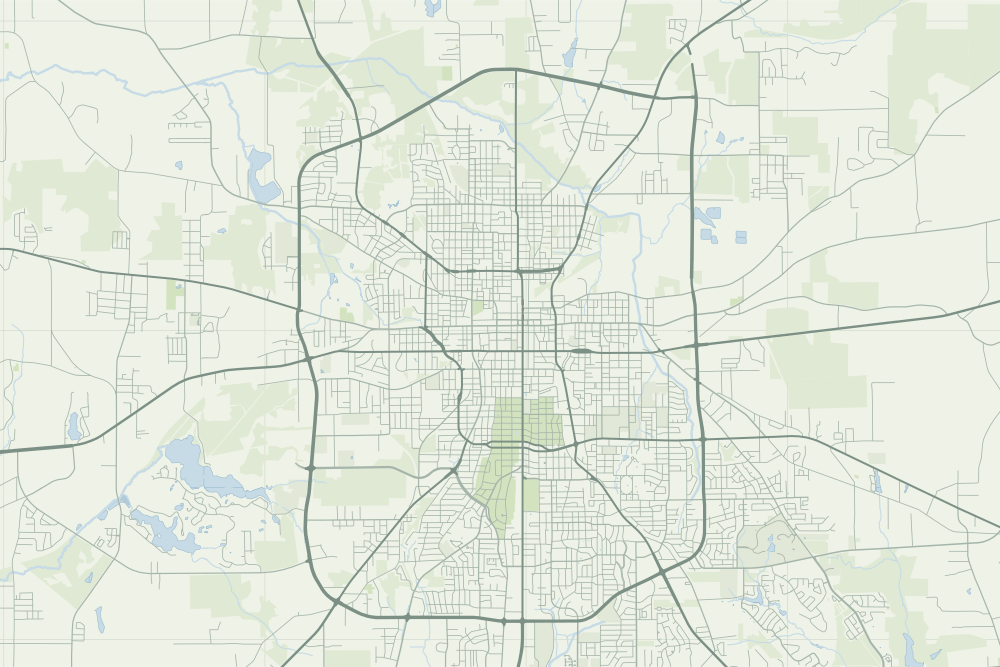
- The Camp Ford pin is where OpenStreetMap places the historic park. No source we have gives the camp’s bounds in 1863. The ordnance plant’s own site is not in our sources: its hollow pin, with the dotted ring, is the 1969 marker that stands near it.
- Near the ordnance plant: a hollow pin marks where it stands today; the sources do not say the event happened there. The dotted ring means right to the block, not the building. 32.33211° N, 95.30231° W, from OpenStreetMap address data.
- Camp Ford: a filled pin marks the place the sources tie the event to. 32.39567° N, 95.26692° W, from OpenStreetMap way/666192191.
- The faint linework is today’s map, from OpenStreetMap. How the map is made.