Every year on the ruler
From a 100-acre site laid out in 1847 to a downtown being rebuilt now, in six eras. Each year has its own page and its own plate, over the old map of its time where there is one.
1846–1872
A county seat
The plat around a square, the first courthouses, a house on Broadway, and the Civil War’s camp and ordnance plant.
1847 to –1850
Twenty-eight blocks around a square
A 100-acre site bought for $150 and laid out as a town.
1852 to –1858
The brick courthouse
Log courthouses, then one of brick in the middle of the square, in use until 1908.
1859
Bonnie Castle on Broadway
A house built in 1859; the city took ownership in 1940.
1863 to –1865
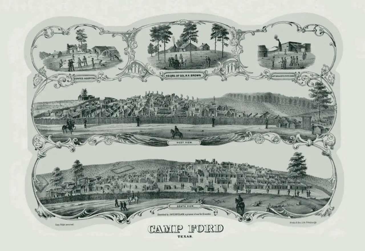
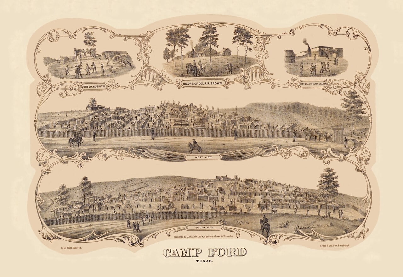
Camp Ford
Tyler in the Civil War: an ordnance plant and a prison camp.
1873–1905
The railroad town
A branch line and the Tyler Tap, the jail on Erwin Street, two churches that still stand, Texas College, the Carnegie Library, the depot.
Under the plate: the Sanborn maps of 1885, 1889, 1893, 1898 and 1902. Open 1885 on the ruler
1873 to –1880
The railroad
A branch line from Troup, then the town’s own Tyler Tap, the start of the Cotton Belt.
1881 to –1916
The jail on Erwin Street
Built between 1880 and 1881 just east of the square; the county’s jail until 1916.
1888 to –1891
St. James C.M.E.
A wooden church of 1888 or 1889 on North Border Avenue, bricked about 1920.
1890 to –1935
Marvin Methodist
A brick church of 1890 that the downtown nomination calls its district’s oldest building.
1894 to –1936
Texas College
Founded in 1894 north of the city limits; annexed to the city in 1936.
1904 to –1934
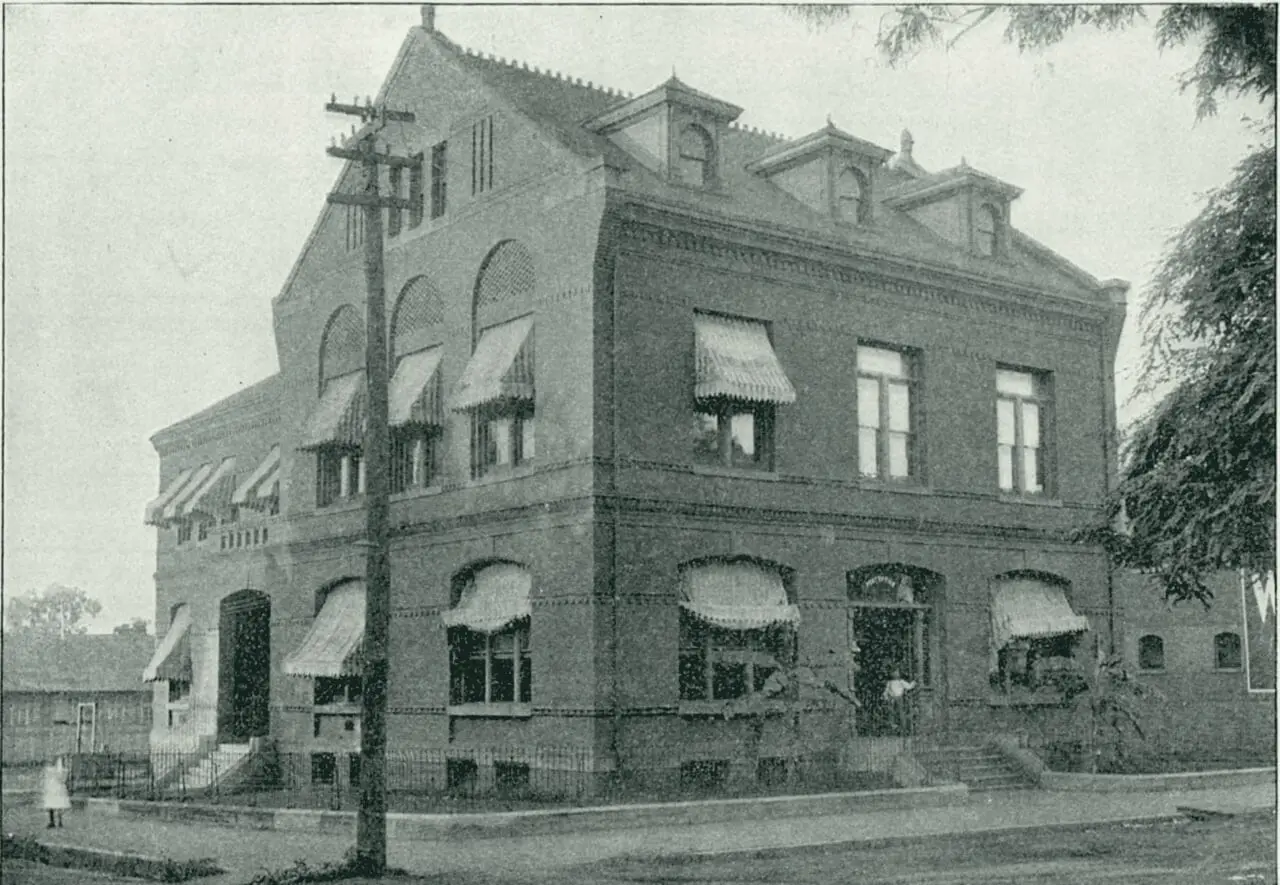
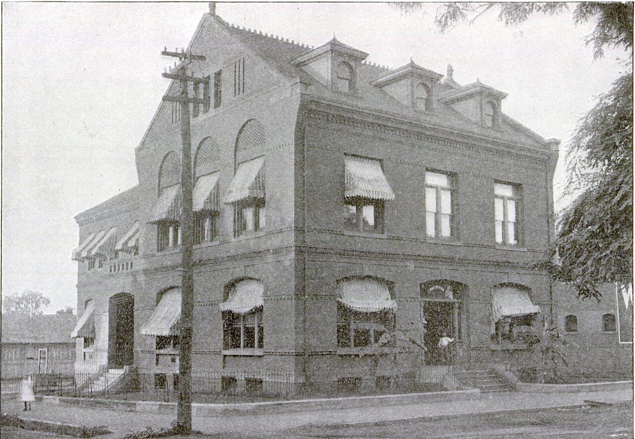
The Carnegie Library
Tyler’s first public library, built by 1904 with a $15,000 Carnegie grant.
1905
The Cotton Belt Depot
The depot at 210 E. Oakwood St.: built by the railroad in 1905, given to the city in 1986 or 1988, reopened in 2003.

1906–1929
The square and its streets
A park on Bergfeld land, the courthouse in the middle of the square, a high school for Black students, Black Wall Street, a junior college.
Under the plate: the Sanborn maps of 1907, 1912, 1919 and 1928. Open 1907 on the ruler
1906 to –1913
Bergfeld Park
A plat, a deed with a deadline, and a purchase.
1910 to –1955
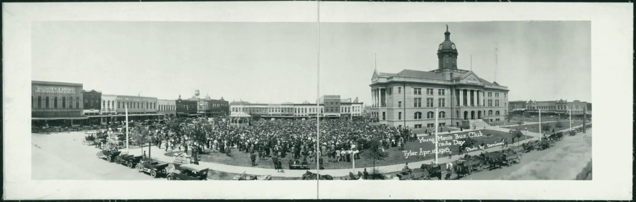
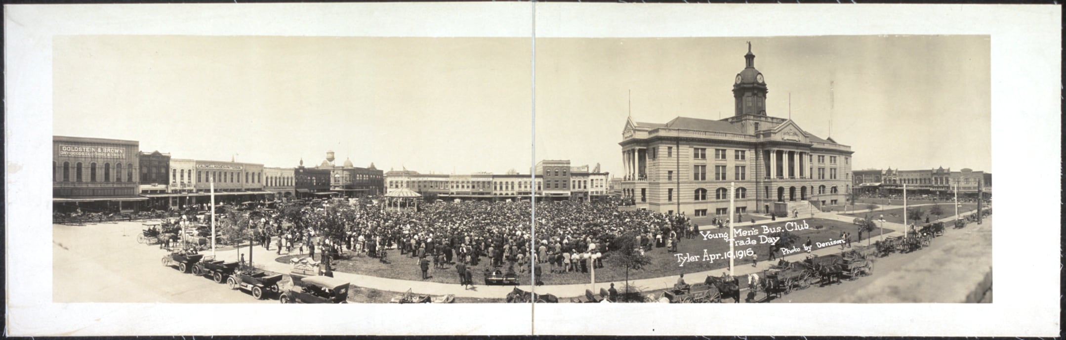
The courthouse in the square
Dedicated in 1910 in the middle of the square, where Broadway now runs; torn down in the 1950s.
1918 to –1970
Emmett J. Scott High
Tyler’s high school for Black students, from 1918 until it closed under the integration order in 1970.
1920 to –1934
Black Wall Street
Black-owned businesses on the 200 block of East Erwin Street and an alley called Wall.
1926
Tyler Junior College
Ninety-three students and nine faculty, at Tyler High School.
1930–1945
Oil
A discovery in Rusk County, towers downtown, a new federal building, and parks laid out white and ‘colored’.
Under the plate: the Sanborn map of 1938. Open 1938 on the ruler
1930 to –1941
Oil
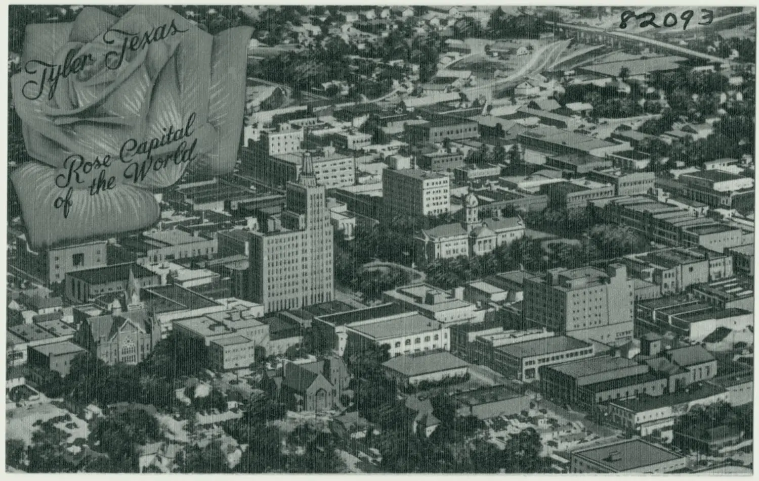
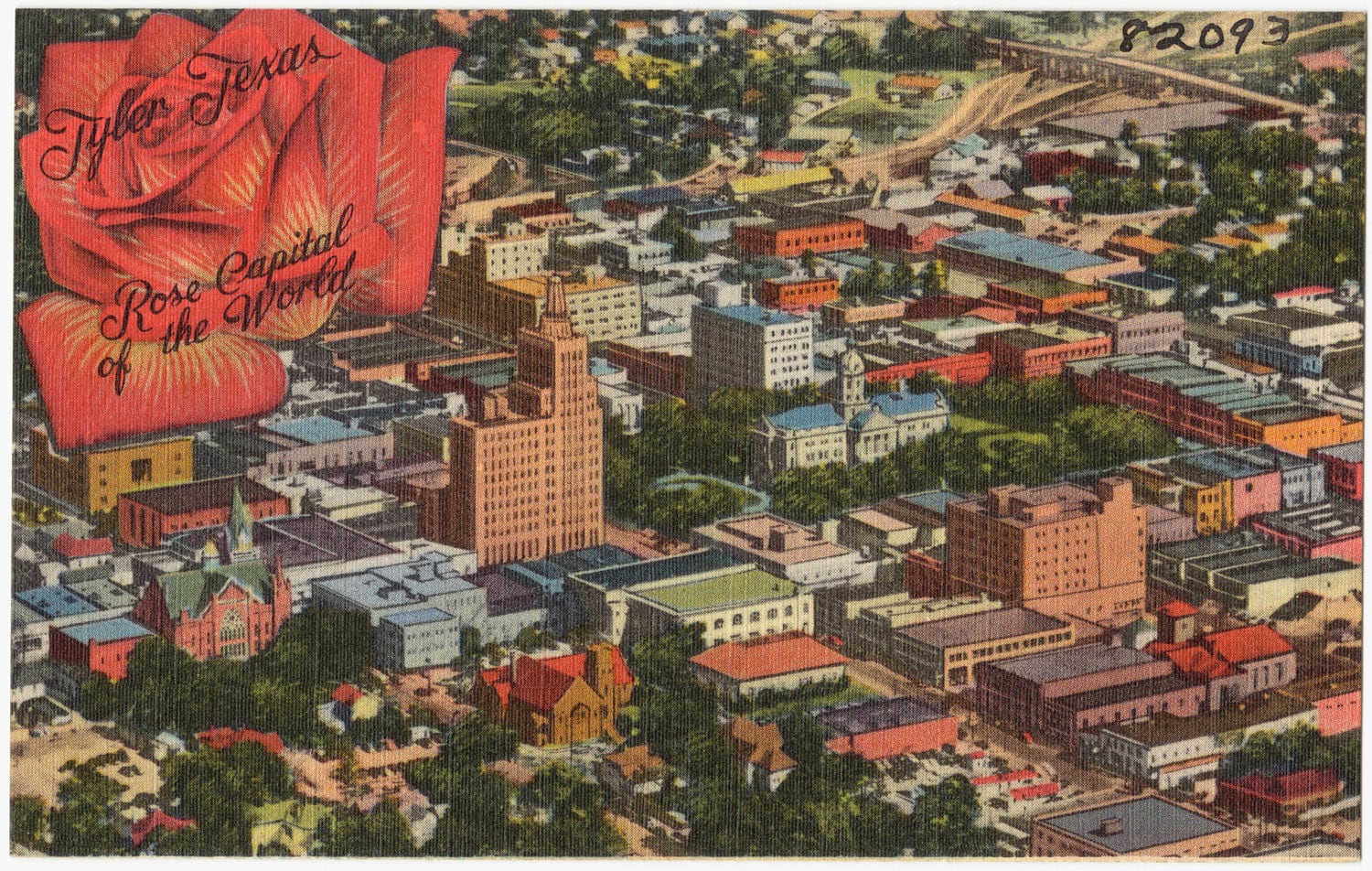
A discovery in Rusk County, and towers downtown: Tyler’s count of people climbs from 17,113 to 28,279.
65.2% growth in Tyler’s population in the 1930s, to 28,279 by the 1940 census
1934 to –1976
The federal building
A federal building of 1934 on the site of the one it replaced, at West Ferguson and North Bois D’Arc.
1938 to –1952
Rose Park and Lincoln Park
A WPA garden, a stadium and a theater on the west side, and one of two ‘colored’ parks.
1946–1976
Out to the loop
Shopping centers, Broadway run through the square, Loop 323, annexation, a state college.
Under the plate: the USGS map of 1948. Open 1948 on the ruler
1949 to –1975
The shopping centers
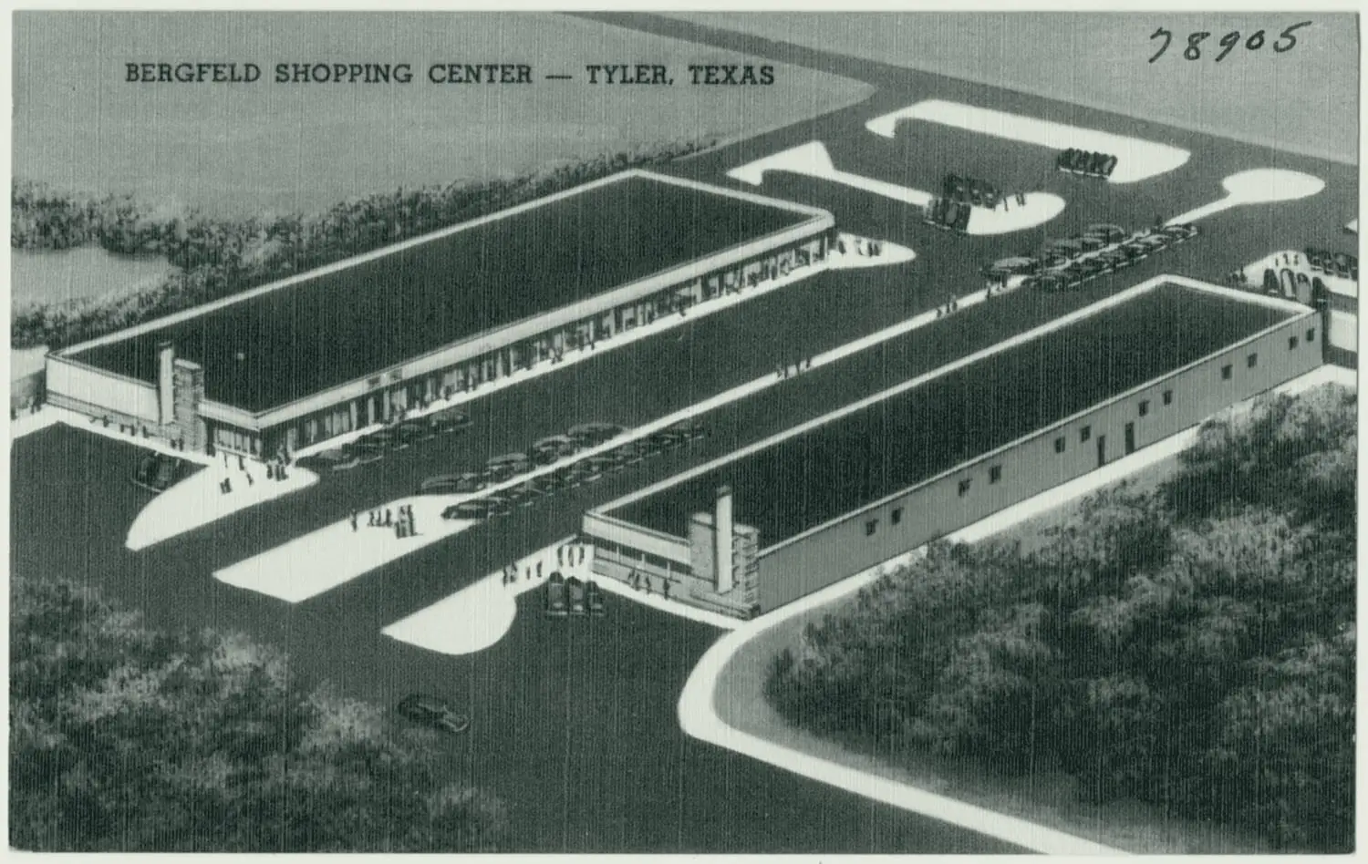
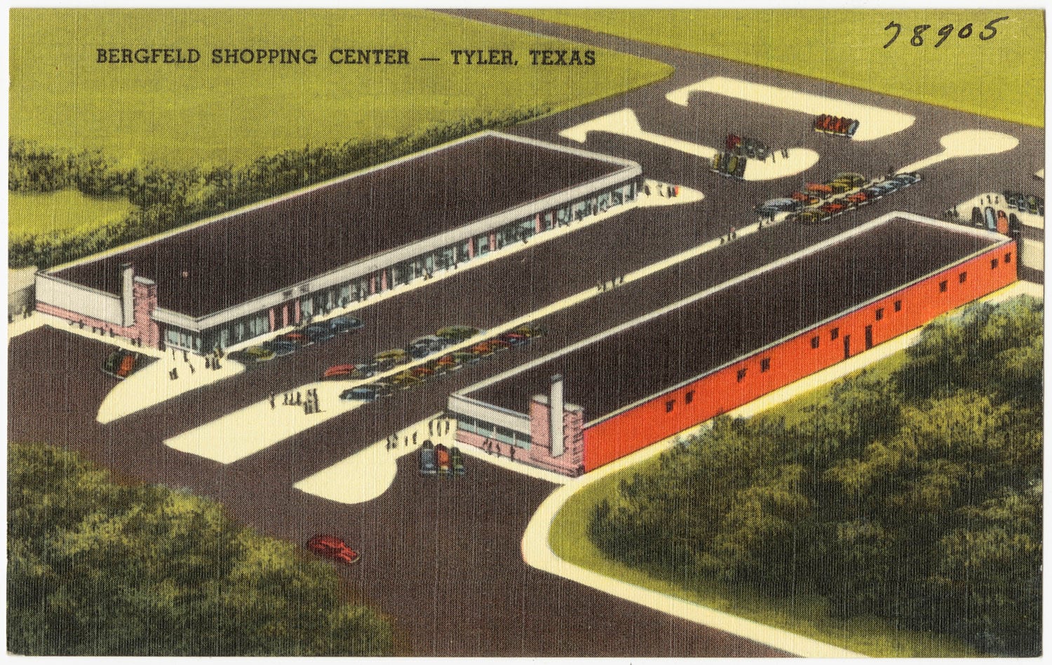
Bergfeld Center on the old fairground in 1949, then a mall on South Broadway in 1975.
1955 to –1966
Broadway through the square
A new courthouse, Broadway run through the middle of the square, and a plaza on its western half.
1957
Loop 323
A state loop around Tyler, designated in 1957.
1960 to –1990
Annexation
Of 51,230 residents in 1960, 10,893 lived in areas annexed since 1950.
10,893 of 51,230 residents in 1960 lived in areas annexed since 1950
1971 to –1979
A state college and an art museum
Tyler State College and the Tyler Museum of Art open the same year.
1977–2028
Courts, districts and a rebuilt square
A Supreme Court case that began in Tyler, eight historic districts, the 2020 count, and the downtown being rebuilt now.
1977 to –1982
Plyler v. Doe
A tuition charge in Tyler’s schools, a class action filed in Tyler, and a Supreme Court decision in 1982.
1999 to –2026
Historic districts
Eight National Register historic districts, listed from 1999 to January 2026.
2020 to –2025
The 2020 count
105,995 people in the 2020 census, and an estimate of 113,723 five years on.
113,723 residents, Census Bureau estimate, July 1, 2025
2025 to –2028
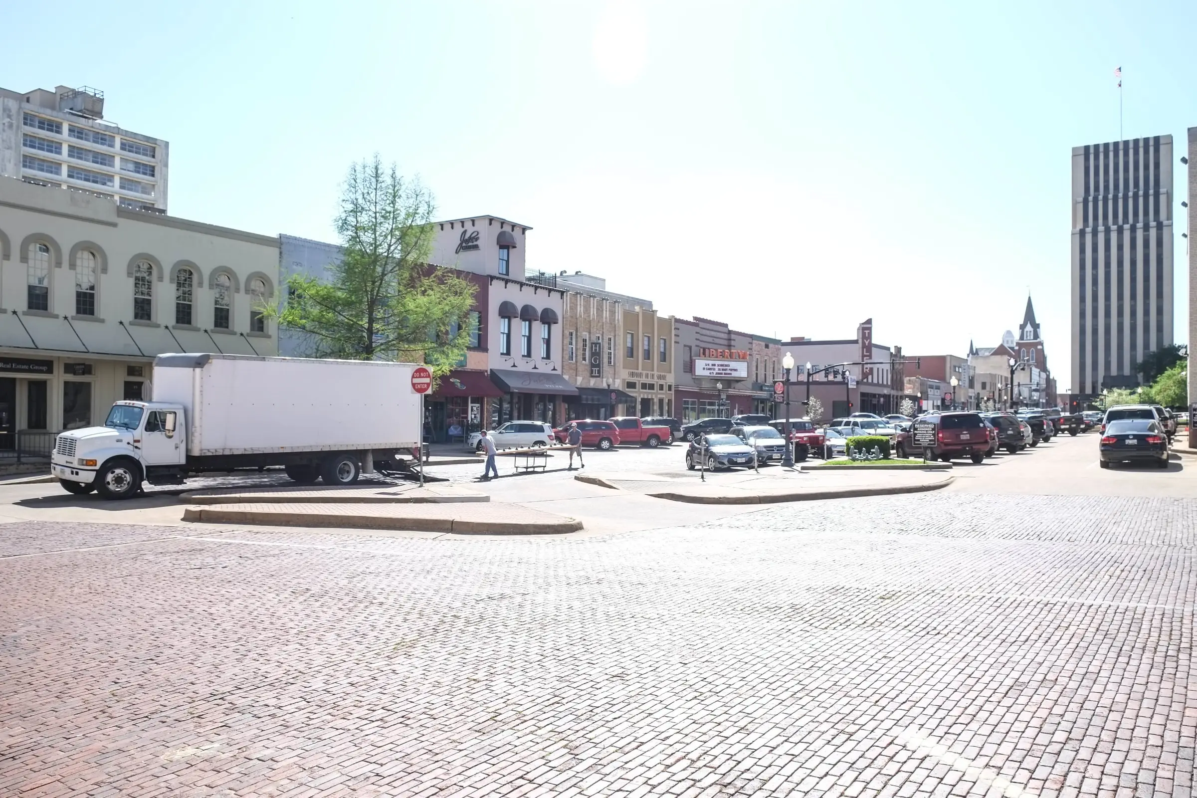
The downtown rebuild
A $25.6 million city-county rebuild of downtown’s streets, utilities and square.
2026
Today, September 2026
The same names, side by side: a grocery on the square in 1928, a groundbreaking in 2026.