1934: The federal building
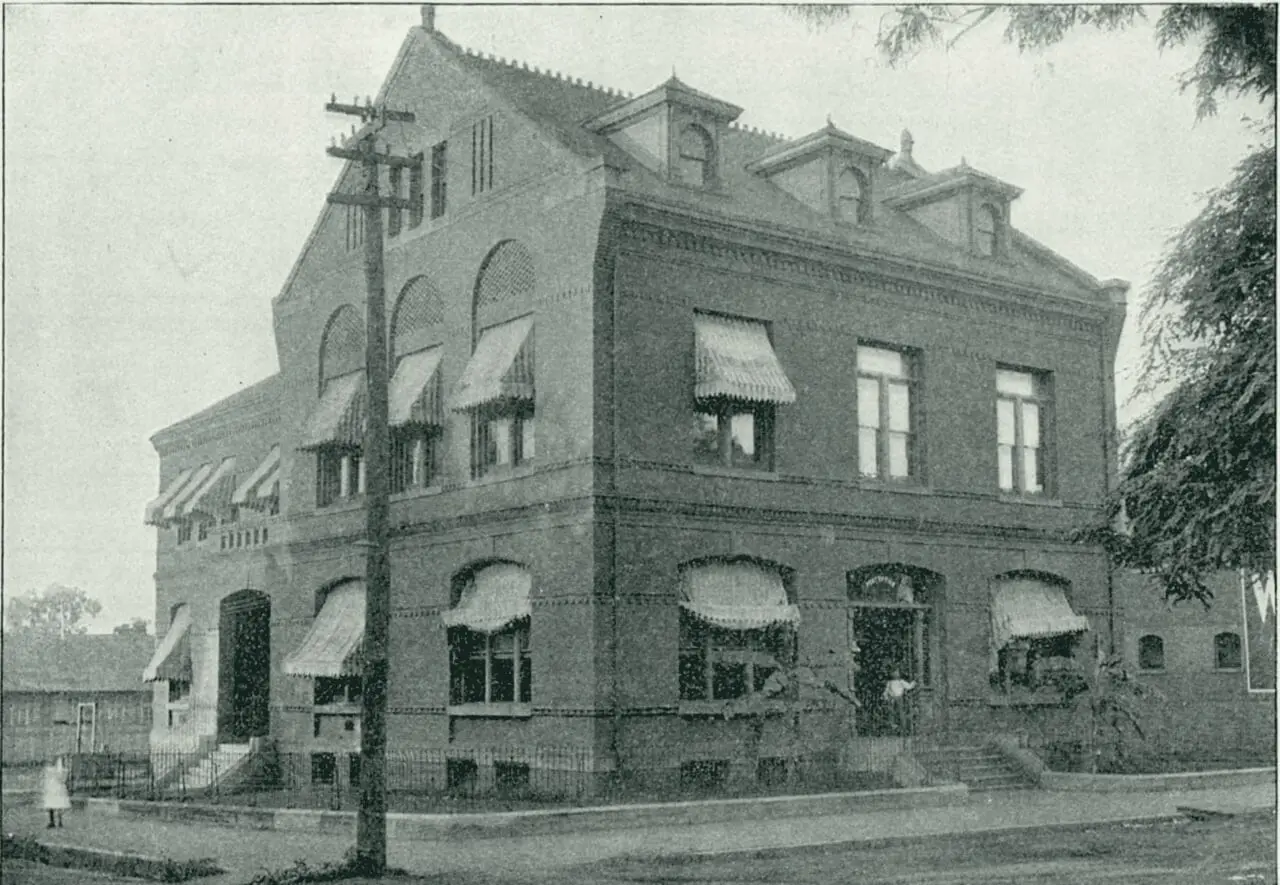
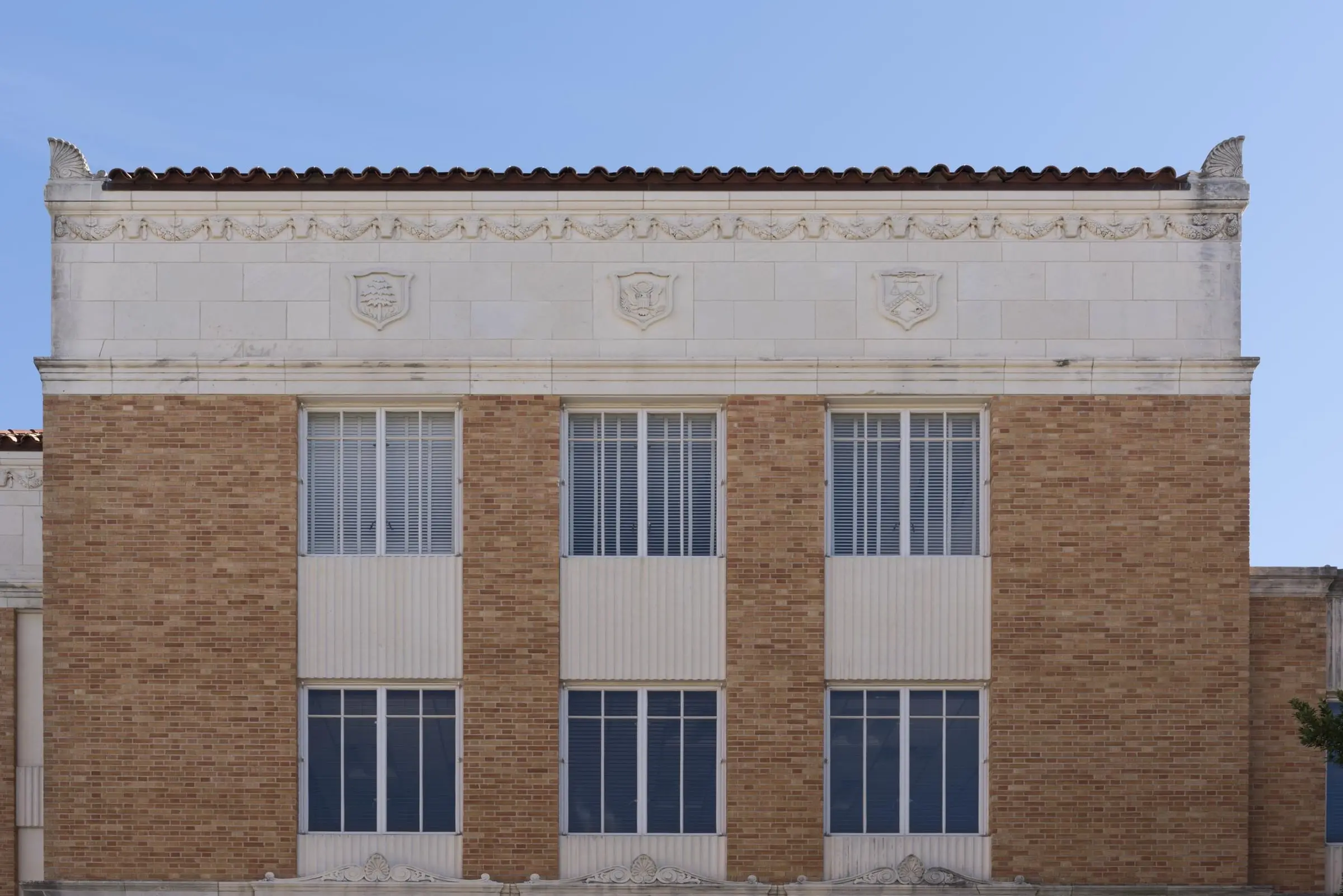
A federal building of 1934 on the site of the one it replaced, at West Ferguson and North Bois D’Arc.

The record
By April 1933
With $360,000 appropriated by Congress, the old federal building has been razed and construction of a new one is under way, by Ralph Sollitt and Sons of Chicago.1
August 4, 1934
The Tyler U.S. Post Office and Courthouse, designed by Tyler architect Shirley Simons Sr. under Treasury supervising architect James A. Wetmore, is dedicated at the northeast corner of West Ferguson and North Bois D’Arc. Its address is 211 West Ferguson Street by the state’s Atlas, 221 by the downtown nomination’s inventory.1
Until 1951
Federal judge Randolph Bryant, an oil and gas specialist, hears East Texas oil field cases in the courthouse.2
1976
After the post office moves out, a Brutalist courthouse annex, approved by Congress in 1966, is finished for more than $2.8 million on the site of the Mayer & Schmidt department store.1
April 25, 2001
The building is listed on the National Register.3
Pictures

Notes
National Register nomination, Tyler Downtown Historic District (NRHP 100008283) (atlas.thc.texas.gov). The Atlas gives the address as 211 West Ferguson Street; the downtown nomination's inventory lists 221 W Ferguson St. Research notes
National Register nomination, Tyler Downtown Historic District (NRHP 100008283) (atlas.thc.texas.gov). Research notes
THC Atlas, National Register listing: Tyler U.S. Post Office and Courthouse (atlas.thc.texas.gov). Research notes
Library of Congress, Sanborn Fire Insurance Map from Tyler, Smith County, Texas, 1938, Report page (image 2 of 59; not sheet 1) (loc.gov). The line is on the bound atlas's Report/index page (file 08793_1938-ind1), not sheet 1, which is a block map. Counts all paving, not only brick; the 2000 survey says about 20 miles of brick streets were completed by about 1942. Research notes
About this plate
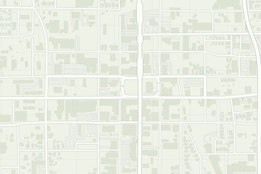
- The pin is the geocode of 211 W. Ferguson St. (the Atlas’s address) from OpenStreetMap’s address data: right to the block. The 1938 Sanborn map under the plate prints ‘Post Off.’ in that block.
- U.S. Post Office and Courthouse: a filled pin marks the place the sources tie the event to. The dotted ring means right to the block, not the building. 32.35182° N, 95.30187° W, from OpenStreetMap address data.
- Under the plate, the Sanborn map, 1938 (the key map at the front of the atlas). The atlas’s report page says ‘Paving:—About 37 miles’, without naming the material.4 It is placed by 13 street crossings that still exist; checked by leaving each out in turn, it is off by about 11 m downtown. How the old maps are placed.
- The faint linework is today’s map, from OpenStreetMap. How the map is made.