1930: Oil
A discovery in Rusk County, and towers downtown: Tyler’s count of people climbs from 17,113 to 28,279.
65.2% growth in Tyler’s population in the 1930s, to 28,279 by the 1940 census12

The record
October 3 or 5, 1930
Dad Joiner’s Daisy Bradford No. 3 in Rusk County comes in (October 3, by the Handbook of Texas; October 5, by the Tyler MPS) and discovers the East Texas oilfield, which the Handbook calls the largest and most prolific oil reservoir in the contiguous United States. The Tyler Chamber of Commerce campaigns at once for the oil business, citing the city’s location about 25 miles west on a good paved road.12
1930
Tyler’s population is 17,113. The oil boom makes the town a regional center for the oil industry.3
1930
Liberty Hall, a city venue downtown at 103 E. Erwin St., opens as the Liberty Theater.4
1930 to 1931
Thirty-three companies open offices in Tyler, and almost all the larger independent operators set up land-leasing headquarters there. Building permit values pass $1 million by May 1931; by the year’s end the field has more than 3,600 wells.56
April 1932
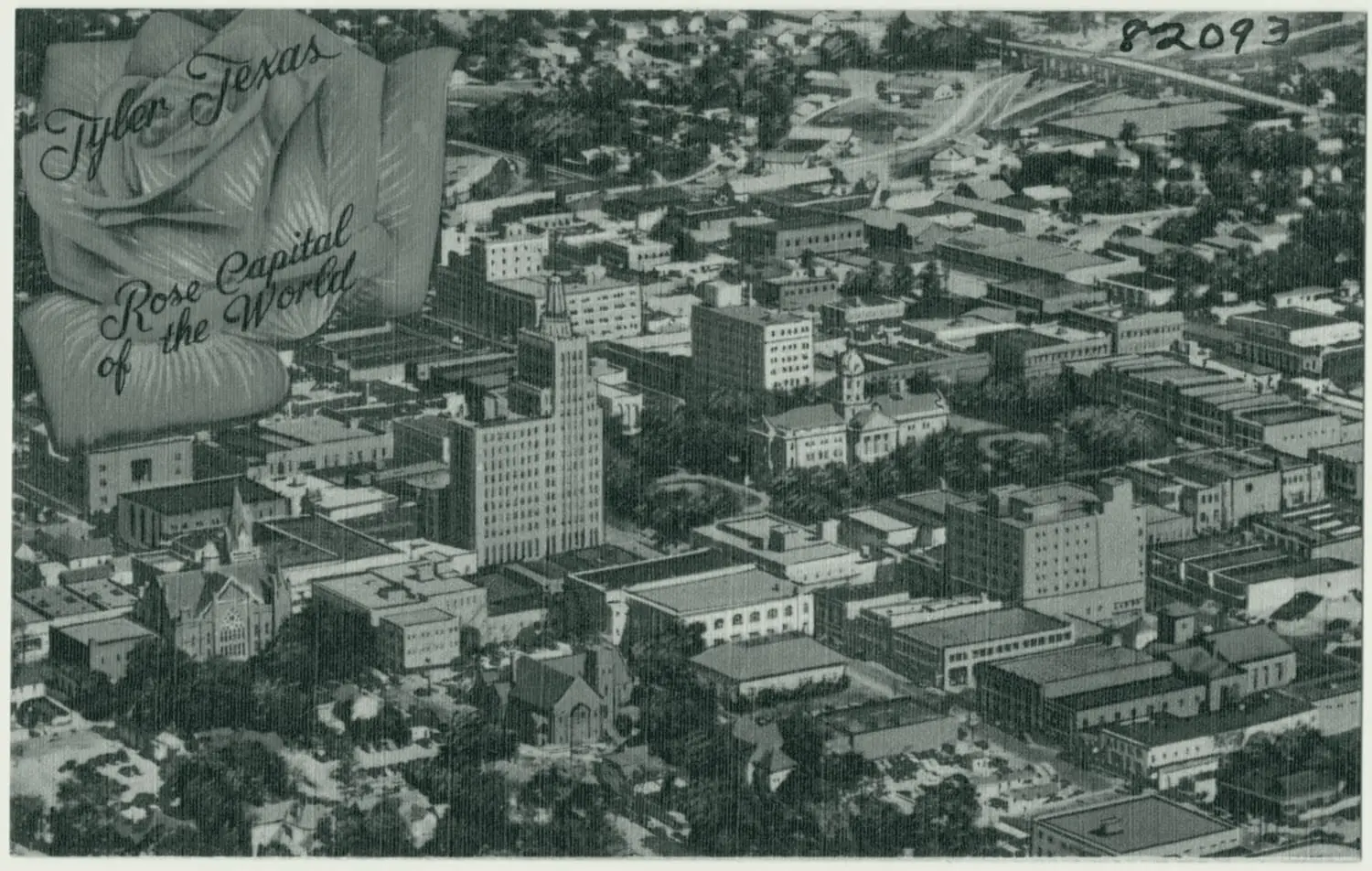
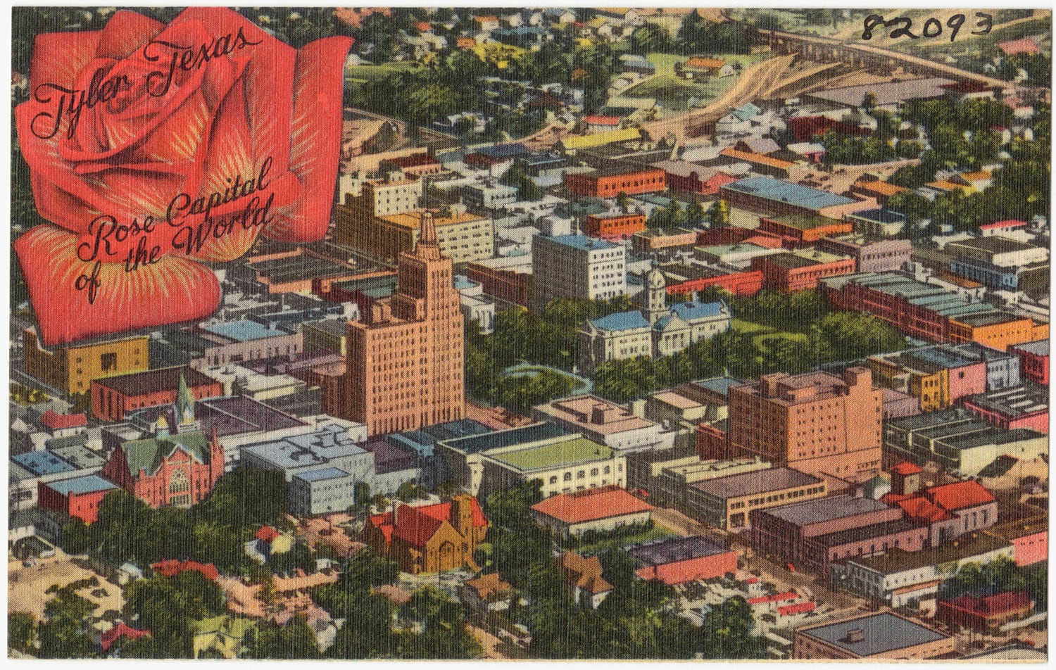
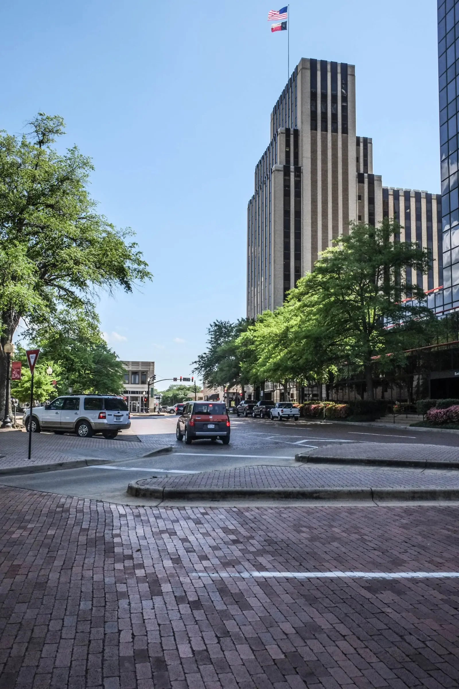
On the site of Goldstein and Brown’s store, partly destroyed by fire in 1930, the 15-story People’s National Bank Building is under construction at the northwest corner of North College Avenue and West Erwin Street, designed by Houston architect Alfred C. Finn. The downtown nomination calls it Tyler’s premier office building through the 1950s.78
1932
The five-story Blackstone Hotel at North Broadway and East Locust Street, open since the early 1920s, adds nine stories for oil-boom newcomers. It was demolished in 1985.9
1933
The population is more than 25,000.3
1930 to 1936
The school population rises from 4,261 students in 1930 to more than 6,000 in 1936, and assessed valuations from $17,477,254 in 1930 to $28,679,113 in 1935. Thirteen Art Deco buildings go up downtown in the boom years.106
March 18, 1937
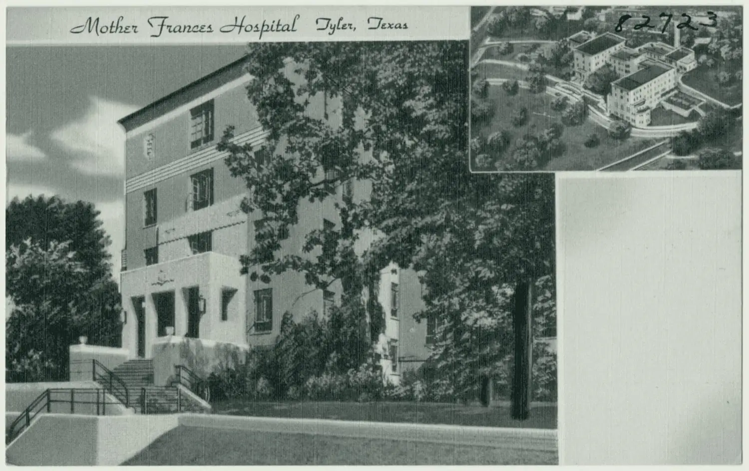
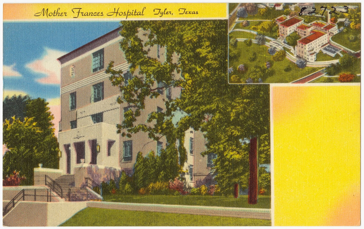
Mother Frances Hospital opens, a day earlier than planned, to care for victims of the New London School explosion.11
February 1938
Construction begins on the Art Deco Blackstone Building at 315 North Broadway. Its ground floor holds Tyler’s first union bus terminal; by 1945 fifteen oil-related businesses rent offices above.7
1940
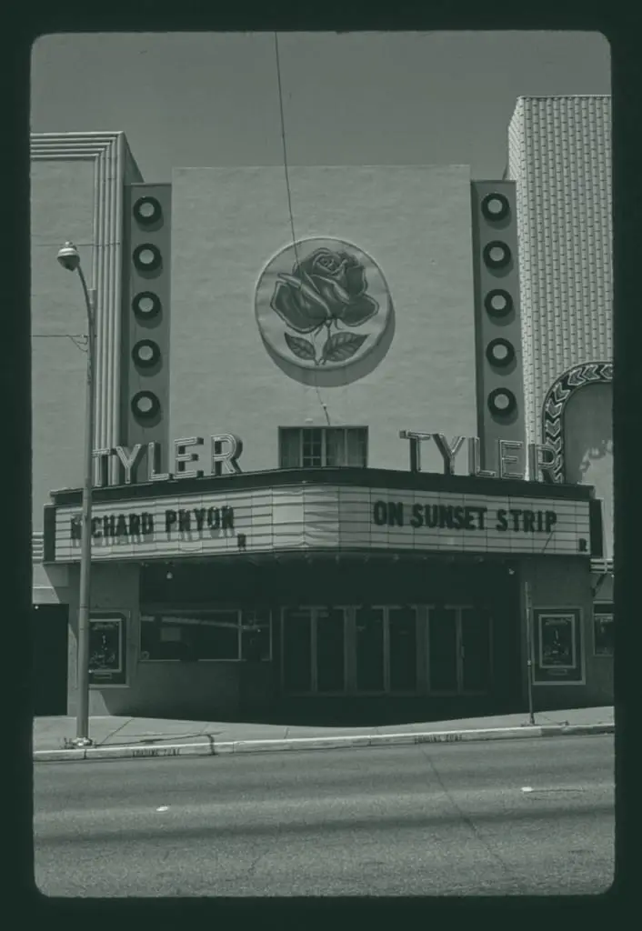
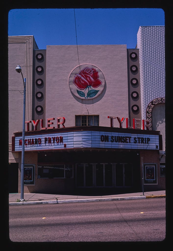
The census counts 28,279: growth of 65.2 percent in the 1930s. The Streamline Moderne Tyler Theater goes up at 110 West Erwin Street, by the downtown nomination’s inventory.127
Pictures
Notes
Handbook of Texas: East Texas Oilfield (tshaonline.org). Research notes
National Register Multiple Property Documentation Form, Historic and Architectural Resources of Tyler, Texas (2001) (atlas.thc.texas.gov). Existing fact east-texas-oilfield-discovered-1930 (Handbook) says the well was completed on October 3, 1930; the MPS says October 5, 1930. Research notes
Handbook of Texas: Tyler, TX (tshaonline.org); Wikipedia: Tyler, Texas (en.wikipedia.org). Research notes
City of Tyler: Liberty Hall (cityoftyler.org); KLTV, 2025-05-31: Historic Preservation Month Looking Back Almost 100 Years Tyler's Liberty Hall (kltv.com); UT Tyler press release, 2023-02-08 (uttyler.edu). Research notes
National Register nomination, Short-Line Residential Historic District (2002) (atlas.thc.texas.gov). Research notes
National Register nomination, Tyler Downtown Historic District (NRHP 100008283) (atlas.thc.texas.gov). Research notes
National Register nomination, Tyler Downtown Historic District (NRHP 100008283) (atlas.thc.texas.gov). Research notes
National Register nomination, Tyler Downtown Historic District (NRHP 100008283) (atlas.thc.texas.gov); THC Atlas, National Register listing: People's National Bank Building (atlas.thc.texas.gov). Research notes
National Register nomination, Tyler Downtown Historic District (NRHP 100008283) (atlas.thc.texas.gov); National Register nomination, Short-Line Residential Historic District (2002) (atlas.thc.texas.gov). The downtown nomination says the hotel was completed in 1922; the Short-Line nomination says it opened in 1921. Research notes
National Register Multiple Property Documentation Form, Historic and Architectural Resources of Tyler, Texas (2001) (atlas.thc.texas.gov). Research notes
CHRISTUS Health: Our history (christushealth.org); Tyler Morning Telegraph, 2022-03-19: Christus Trinity Mother Frances Health System Marks 85 Years (tylerpaper.com). Research notes
1950 Census of Population, Vol. 1, Number of Inhabitants, Texas (Table 4, Population of incorporated places of 10,000 or more from earliest census to 1950) (www2.census.gov). The Short-Line Residential Historic District nomination (2002) cites the U.S. Census for different figures: 9,255 in 1920, 13,009 in 1930, 20,879 in 1940 and 28,854 in 1950. The Census Bureau's own 1950 and 1960 tables and the Handbook give 12,085, 17,113, 28,279 and 38,968; prefer the Census tables. Research notes
Library of Congress, Sanborn Fire Insurance Map from Tyler, Smith County, Texas, 1938, Report page (image 2 of 59; not sheet 1) (loc.gov). The line is on the bound atlas's Report/index page (file 08793_1938-ind1), not sheet 1, which is a block map. Counts all paving, not only brick; the 2000 survey says about 20 miles of brick streets were completed by about 1942. Research notes
About this plate
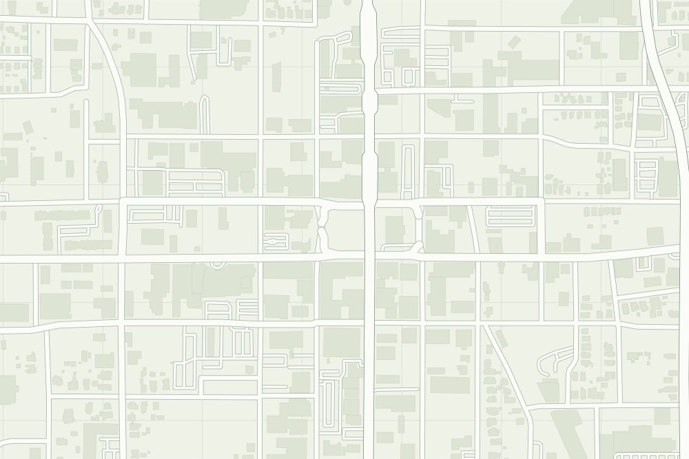
- The oilfield is in Rusk County, not in Tyler, so the map gets no new layer for it; the 1938 Sanborn map under the plate shows the city after the boom.
- The Liberty Hall, People’s and Blackstone pins are geocodes of their street addresses from OpenStreetMap’s address data, so they are right to the block, not to the building.
- Liberty Hall: a filled pin marks the place the sources tie the event to. The dotted ring means right to the block, not the building. 32.35067° N, 95.30041° W, from OpenStreetMap address data.
- People’s National Bank Building: a filled pin marks the place the sources tie the event to. The dotted ring means right to the block, not the building. 32.35089° N, 95.30174° W, from OpenStreetMap address data.
- Blackstone Building: a filled pin marks the place the sources tie the event to. The dotted ring means right to the block, not the building. 32.35303° N, 95.30077° W, from OpenStreetMap address data.
- Under the plate, the Sanborn map, 1938 (the key map at the front of the atlas). The atlas’s report page says ‘Paving:—About 37 miles’, without naming the material.13 It is placed by 13 street crossings that still exist; checked by leaving each out in turn, it is off by about 11 m downtown. How the old maps are placed.
- The faint linework is today’s map, from OpenStreetMap. How the map is made.