1955: Broadway through the square
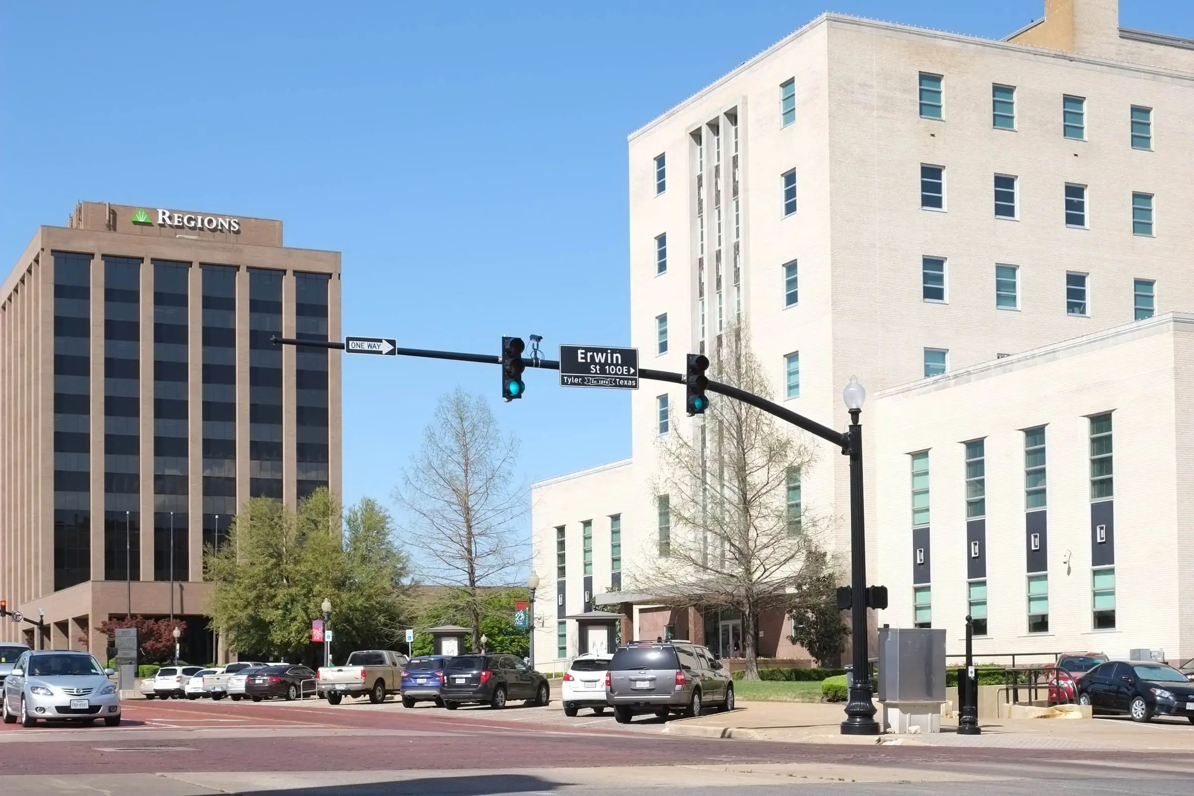
A new courthouse, Broadway run through the middle of the square, and a plaza on its western half.

The record
May 1953
In a close election, Smith County voters approve a $1.5 million courthouse bond. Arthur E. Thomas of Dallas wins the architect contract and Rambo Construction of Fort Worth the building contract.1
Mid-1950s
The county replaces the 1909 courthouse, extends Broadway through the split square, keeps the western half as a park and puts the new courthouse at the center of the eastern half.2
1955
The six-story Smith County Courthouse is dedicated (the Handbook of Texas says it was built in 1954), to house two district courts, two justice of the peace courts, the jail and county offices. The $1.2 million building has twice the 1909 courthouse’s space.31
September 1955
The old courthouse is torn down, by the Smith County Historical Society’s date.4
1965 and 1966
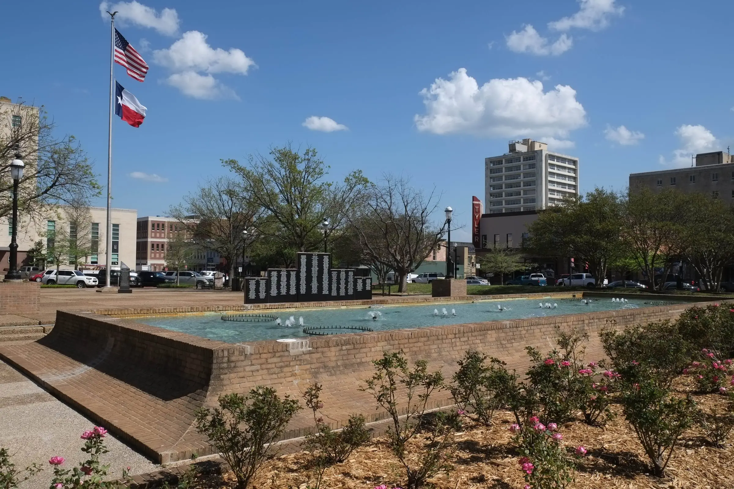
The county turns the western half of the square into a concrete plaza designed by Tyler architect Shirley Simons Jr., with a 70-by-20-foot lighted fountain; in 1966 the city announces it will be renamed T.B. Butler Fountain Plaza.1
Pictures

Notes
National Register nomination, Tyler Downtown Historic District (NRHP 100008283) (atlas.thc.texas.gov). The nomination dates the courthouse both 1954 (inventory) and 1955 (narrative), and credits it to 'Jameson & Merrell' in one place, Arthur E. Thomas in another, and 'Thomas, Jameson and Merrill' in the inventory. The Handbook says 1954. Research notes
National Register nomination, Tyler Downtown Historic District (NRHP 100008283) (atlas.thc.texas.gov). Research notes
Smith County, Courthouse Planning (including 'The Story of Our Courthouses') (smith-county.com). The Handbook says the present courthouse was constructed in 1954. Research notes
Smith County, Courthouse Planning (including 'The Story of Our Courthouses') (smith-county.com); Smith County Historical Society, 1909 Courthouse young trees (print) (smithcountyhistoricalsociety.org); Smith County Historical Society, 1909 Smith County, Texas Courthouse (print) (smithcountyhistoricalsociety.org). The Handbook dates this courthouse to 1909 and the downtown nomination says construction began in 1908; the county and KETK give a 1910 dedication. The downtown nomination says the county razed it first and then built the new courthouse; the Historical Society dates its demolition to September 1955, the year the new courthouse was dedicated. Research notes
About this plate
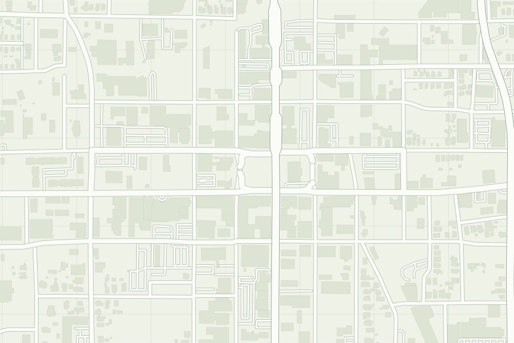
- Smith County Courthouse: a filled pin marks the place the sources tie the event to. 32.35129° N, 95.30030° W, from OpenStreetMap way/544001615.
- Under the plate, the USGS map, 1948 (the 1:62,500 quadrangle, around Tyler). It is placed by the survey's own coordinates, moved by the mean offset of 6 street crossings that still exist; checked against them, it is off by about 11 m downtown. How the old maps are placed.
- The faint linework is today’s map, from OpenStreetMap. How the map is made.