1957: Loop 323
A state loop around Tyler, designated in 1957.
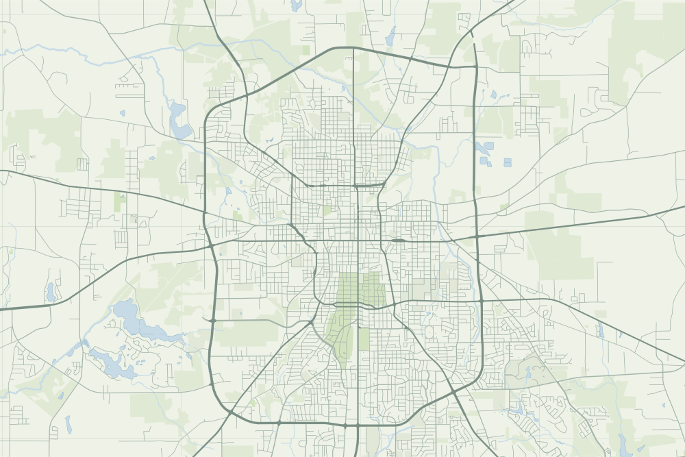
19.7 miles, roughly, around Tyler; designated October 30, 19571

The record
October 30, 1957
TxDOT designates Loop 323, the roughly 19.7-mile state loop around Tyler, from what had been FM 1803.1
Late 1950s
East Southeast Loop 323, built in the 1950s, opens land along its route to new subdivisions. A ‘distributor’ loop to carry traffic around downtown had been a major recommendation of the city plans.2
Notes
TxDOT highway designation history: State Loop 323 (dot.state.tx.us); Tyler Texas Online: Getting around Tyler (tylertexasonline.com). Research notes
National Register nomination, Pollard Residential Historic District (2026) (atlas.thc.texas.gov). Research notes
About this plate
- The loop on the map is OpenStreetMap’s geometry for Loop 323 as it is today. The 1957 route is not in our sources; the 1948 map under the plate is from before the loop.
- Under the plate, the USGS map, 1948 (the 1:62,500 quadrangle, around Tyler). It is placed by the survey's own coordinates, moved by the mean offset of 6 street crossings that still exist; checked against them, it is off by about 11 m downtown. How the old maps are placed.
- The faint linework is today’s map, from OpenStreetMap. How the map is made.