1881: The jail on Erwin Street
Built between 1880 and 1881 just east of the square; the county’s jail until 1916.

The record
September 1880 to April 1881
The Smith County Jail goes up on East Erwin Street just east of the square: the county’s third jail, in use until 1916.1
1897 and 1898
According to the jail’s National Register nomination, a mob lynches an African American man held there in 1897, and in 1898 another mob shoots an Anglo American man to death in his cell.2
May 1, 1909
A mob breaks into the jail with sledgehammers, seizes Jim Hodge (the downtown nomination also spells it Hodges), held on a rape charge, and lynches him on the courthouse square. Later statements by his accuser led many to believe he was innocent.3
March 9, 1916
The county sells the jail to Jefferson Y. Lewis for $1,800, and he makes it the Lewis Hotel.1
1986 and 1996
Historic Tyler, Inc., buys the building in 1986; it is listed on the National Register on August 22, 1996.2
Notes
National Register nomination, Smith County Jail (1881) (atlas.thc.texas.gov); THC Atlas, National Register listing: Smith County Jail, 1881 (atlas.thc.texas.gov). Research notes
National Register nomination, Smith County Jail (1881) (atlas.thc.texas.gov); THC Atlas, National Register listing: Smith County Jail, 1881 (atlas.thc.texas.gov). Research notes
National Register Multiple Property Documentation Form, Historic and Architectural Resources of Tyler, Texas (2001) (atlas.thc.texas.gov); National Register nomination, Smith County Jail (1881) (atlas.thc.texas.gov). The downtown nomination spells the name 'Jim Hodges' in one citation and 'Jim Hodge' in another. Research notes
About this plate
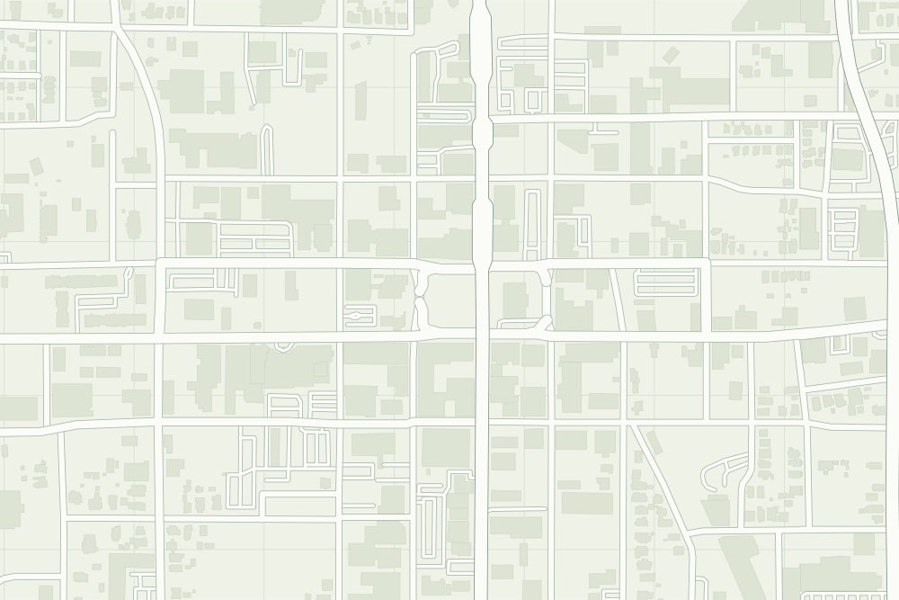
- Smith County Jail (1881): a filled pin marks the place the sources tie the event to. 32.35058° N, 95.29803° W, from OpenStreetMap node/5626036431.
- Under the plate, the Sanborn map, May 1885 (sheet 1, the blocks west of the public square (no key map that year)). It is placed by 5 street crossings that still exist; checked by leaving each out in turn, it is off by about 2 m downtown. How the old maps are placed.
- The faint linework is today’s map, from OpenStreetMap. How the map is made.