1888: St. James C.M.E.
A wooden church of 1888 or 1889 on North Border Avenue, bricked about 1920.

The record
1888 to 1891
St. James C.M.E. Church goes up at 408 North Border Avenue as a wooden Gothic Revival church. Its cornerstones read 1888 and 1889; its 2004 National Register nomination says it was likely built between 1889 and 1891, under the Rev. I. S. Persons.12
1894
With help from St. James C.M.E., ministers of the Colored Methodist Episcopal Church found Texas College, north of the city limits.3
1920s
The church is bricked: about 1920, by its nomination; between 1921 and 1929, by the Tyler MPS.12
2001 and 2004
The Tyler MPS calls it the only known surviving 19th-century African American church building in Tyler, and its nomination the oldest surviving African American church in Tyler. It is listed on the National Register on August 20, 2004.12
Notes
National Register Multiple Property Documentation Form, Historic and Architectural Resources of Tyler, Texas (2001) (atlas.thc.texas.gov); THC Atlas, National Register listing: St. James Colored Methodist Episcopal Church (atlas.thc.texas.gov). The church's cornerstones read 1889 and 1888. Research notes
National Register nomination: St. James Colored Methodist Episcopal Church (NR 04000887, 2004; THC Atlas) (atlas.thc.texas.gov). Research notes
Handbook of Texas: Texas College (Nancy Beck Young) (tshaonline.org); National Register nomination, Martin Hall at Texas College (2005) (atlas.thc.texas.gov). Research notes
About this plate
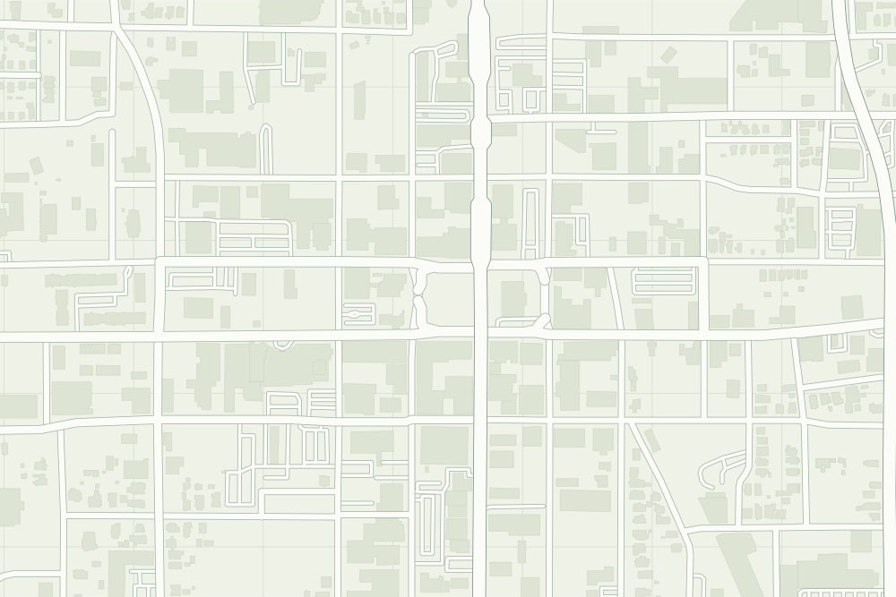
- St. James C.M.E. Church: a filled pin marks the place the sources tie the event to. The dotted ring means right to the block, not the building. 32.35373° N, 95.30638° W, from OpenStreetMap address data.
- Under the plate, the Sanborn map, November 1889 (sheet 1, the key map). It is placed by 12 street crossings that still exist; checked by leaving each out in turn, it is off by about 8 m downtown. How the old maps are placed.
- The faint linework is today’s map, from OpenStreetMap. How the map is made.