1894: Texas College
Founded in 1894 north of the city limits; annexed to the city in 1936.

The record
1894
Ministers of the Colored Methodist Episcopal Church found Texas College, with help from St. James C.M.E., on land north of the city limits, because Black Tylerites were restricted in where they could own property.1
1909 to 1912
It is renamed Phillips University in 1909 and changes back to Texas College in 1912.2
1924
Martin Hall goes up for about $30,000, with a 1,000-seat auditorium; its National Register nomination calls it the only surviving intact 1920s school building in Tyler. The college is accredited as a junior college that year, and as a four-year senior college in 1932.32
1936
The college’s area is annexed to the city.1
1946 to 1966
Texas College houses one campus of Tyler Junior College.4
About 1948
The D. R. Glass Library is built, likely designed by the noted African American firm McKissack & McKissack of Nashville or a subcontractor under its supervision, according to its National Register nomination.5
About 2005
The campus, about two miles northwest of the square at North Grand Avenue and Barrett Street, once covered more than 101 acres; after the sale of 77 acres it covers 24.5.6
Notes
Handbook of Texas: Texas College (Nancy Beck Young) (tshaonline.org); National Register nomination, Martin Hall at Texas College (2005) (atlas.thc.texas.gov). Research notes
Handbook of Texas: Texas College (Nancy Beck Young) (tshaonline.org). Research notes
National Register nomination, Martin Hall at Texas College (2005) (atlas.thc.texas.gov); THC Atlas, National Register listing: Martin Hall at Texas College (atlas.thc.texas.gov). Research notes
Handbook of Texas: Texas College (Nancy Beck Young) (tshaonline.org). Research notes
National Register nomination, D. R. Glass Library at Texas College (2007) (atlas.thc.texas.gov); THC Atlas, National Register listing: D. R. Glass Library at Texas College (atlas.thc.texas.gov). Research notes
National Register nomination, Martin Hall at Texas College (2005) (atlas.thc.texas.gov); National Register nomination, D. R. Glass Library at Texas College (2007) (atlas.thc.texas.gov). Research notes
About this plate
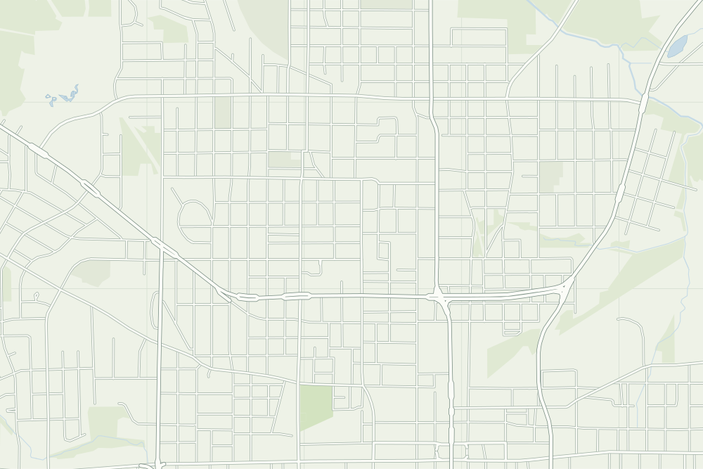
- The pin and outline are the campus as OpenStreetMap draws it today, after the land sales the sources describe.
- Texas College: a filled pin marks the place the sources tie the event to. 32.37487° N, 95.31252° W, from OpenStreetMap way/672179552.
- Under the plate, the Sanborn map, September 1898 (sheet 1, the key map). It is placed by 12 street crossings that still exist; checked by leaving each out in turn, it is off by about 9 m downtown. How the old maps are placed.
- The faint linework is today’s map, from OpenStreetMap. How the map is made.