1904: The Carnegie Library
Tyler’s first public library, built by 1904 with a $15,000 Carnegie grant.

The record
By 1904
Tyler’s first public library, the Carnegie Library at 125 South College Avenue, is built with a $15,000 Carnegie grant and opens with 12,000 books. It is the 15th of 34 Carnegie libraries in Texas, designed by Patton & Miller of Chicago.1
1934
It doubles in size with a Public Works Administration grant. The Smith County Historical Society says it was the first building in downtown Tyler with running water.1
March 26, 1979
It is listed on the National Register.2
Since the mid-1980s
It has housed the Smith County Historical Society.1
Notes
National Register nomination, Tyler Downtown Historic District (NRHP 100008283) (atlas.thc.texas.gov). Research notes
THC Atlas, National Register listing: Carnegie Public Library (atlas.thc.texas.gov). Research notes
Library of Congress, Sanborn Fire Insurance Map from Tyler, Smith County, Texas, Sept. 1907, sheet 1 (loc.gov). The National Register documents (2000, 2003) say the streets around the courthouse square were paved in 1907, and the 2000 survey dates the first paving (railroad crossings) to July 2, 1906; see sanborn-1907-vs-national-register-square. Research notes
Library of Congress, Sanborn Fire Insurance Map from Tyler, Smith County, Texas, Sept. 1907, sheet 1 (loc.gov); National Register Multiple Property Documentation Form, Historic and Architectural Resources of Tyler, Texas (Diane E. Williams, July 2000), Section E, p. 29 (atlas.thc.texas.gov); National Register nomination, Brick Streets Neighborhood Historic District (Diane E. Williams, Aug. 22, 2003), Section 8, p. 57 (atlas.thc.texas.gov). Neither source gives a month for the square paving, and a Sanborn survey can predate its publication date, so the two may describe different points in 1907; do not say the square was paved before late 1907 on this evidence. The same 2000 survey says the first paving, at railroad crossings, began July 2, 1906. A. A. Arnold's 1977 talk (machine transcript, on hold) puts the ordinance for paving the square on May 3, 1907. Research notes
About this plate
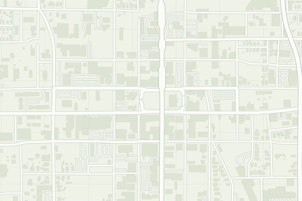
- Carnegie Library: a filled pin marks the place the sources tie the event to. 32.34984° N, 95.30197° W, from OpenStreetMap node/368165528.
- Under the plate, the Sanborn map, September 1907 (sheet 1, the key map). Its first sheet says ‘streets not paved’, the same year the National Register documents say the streets around the square were paved with brick.34 It is placed by 14 street crossings that still exist; checked by leaving each out in turn, it is off by about 10 m downtown. How the old maps are placed.
- The faint linework is today’s map, from OpenStreetMap. How the map is made.