1905: The Cotton Belt Depot
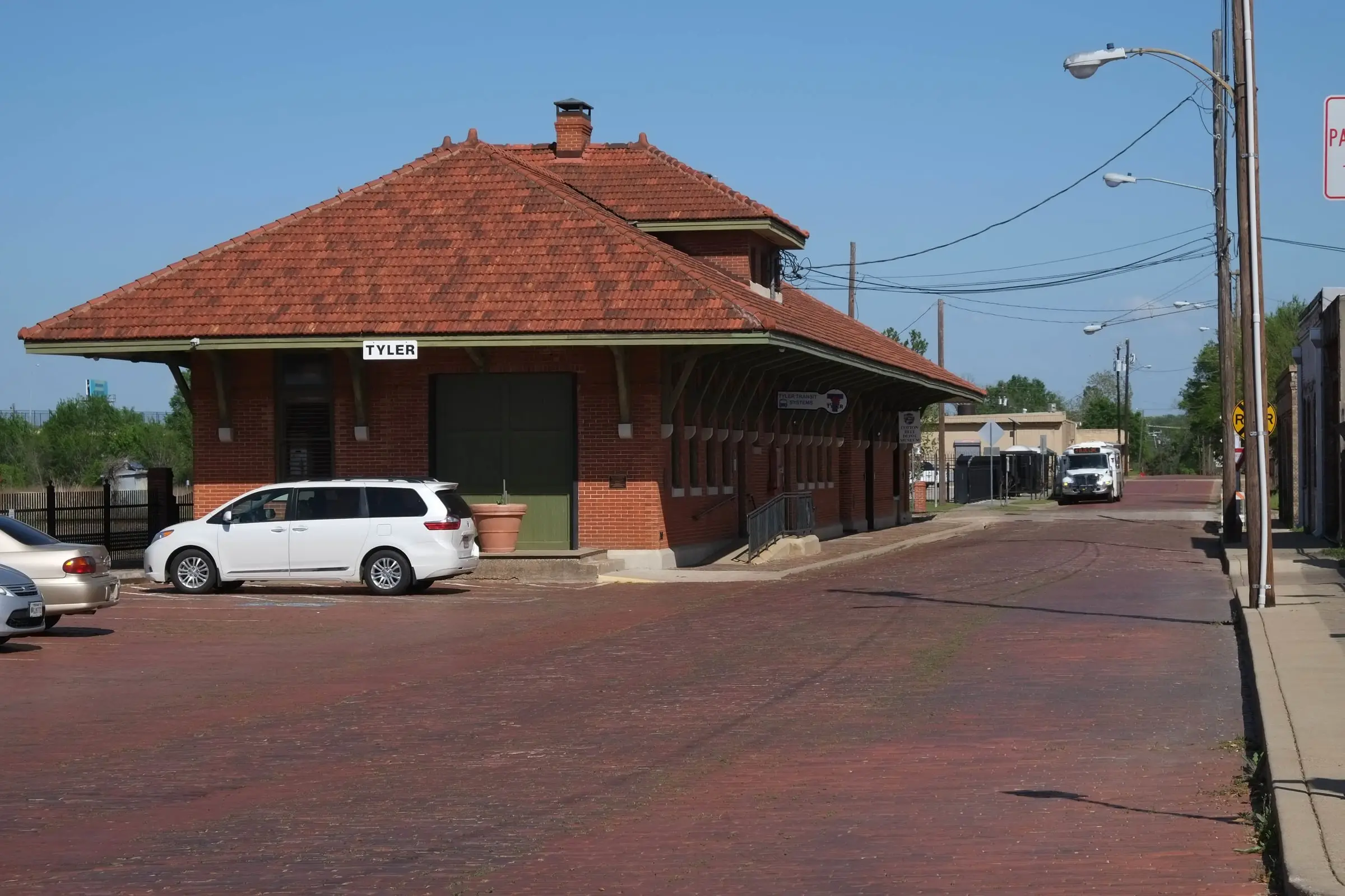
The depot at 210 E. Oakwood St.: built by the railroad in 1905, given to the city in 1986 or 1988, reopened in 2003.

The record
1905
The St. Louis Southwestern Railway, known as the Cotton Belt, builds the brick passenger depot on the north side of Oakwood Street, after the Texas Railroad Commission orders it to replace its 1880s frame depot at the southwest corner of Oakwood (then Common) Street and Fannin Avenue.12
For a few years
The depot is shared with the International and Great Northern, which later builds its own depot on North Fannin Avenue between Ferguson and Locust streets.3
Before 1900
Across Oakwood Street lies the Levee, a rail business district named for a levee the Cotton Belt built north of its tracks, with hotels, restaurants and stores serving trainmen and travelers. The Tyler MPS says none of the buildings it names survive.4
1910
The Cotton Belt spends $200,000 to more than double its Tyler shops, just northeast of the square.5
1923 to 1935
The Cotton Belt employs 1,543 people in Tyler in 1923, with a $2.29 million payroll; 1,055 in 1927; 711 in 1935.4
For 50 years
The depot has separate waiting rooms for white and Black passengers.5
April 22, 1956
The last Cotton Belt passenger train passes through Tyler, ending just over 83 years of direct passenger rail service.6
1986 or 1988
After years of freight and storage, the railroad gives the depot to the City of Tyler: in 1986, by the downtown nomination; in 1988, by other sources.51
August 8, 2001
It is listed on the National Register of Historic Places.1
2003
It reopens after a major renovation.1
Today
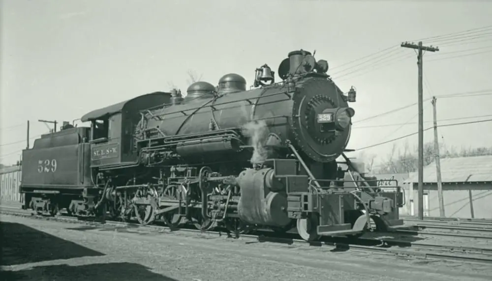
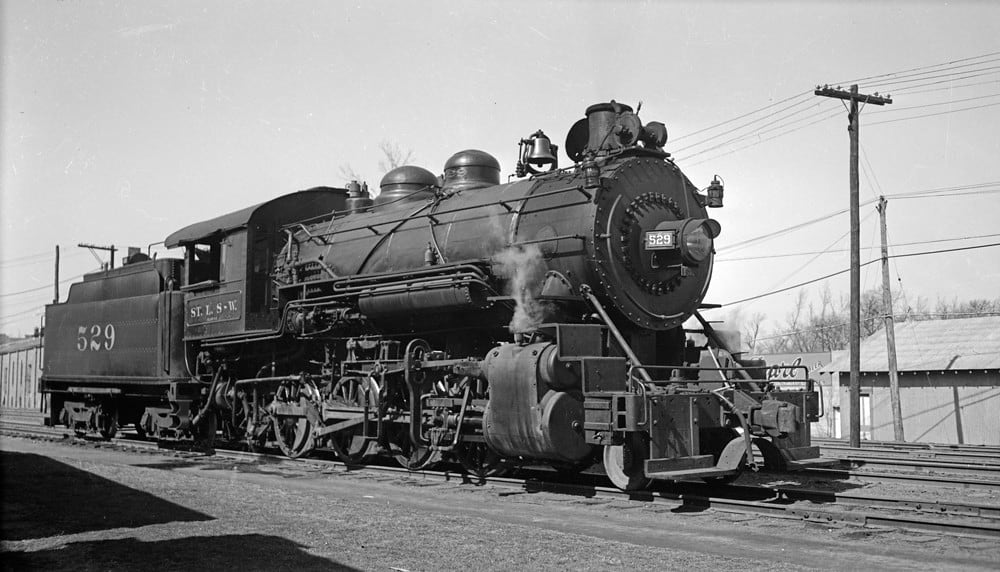
Tyler Transit uses the old waiting area, and the Cotton Belt Depot Museum fills the former baggage area, centered on Clyde Bragg’s model-train collection.1
Pictures
Notes
Wikipedia: Cotton Belt Depot Museum (en.wikipedia.org); Handbook of Texas: Tyler, TX (tshaonline.org); Wikipedia: National Register of Historic Places listings in Smith County, Texas (en.wikipedia.org). Sources differ on the donation year: 1988 here; the 2022 Downtown Tyler Historic District nomination says 1986. Show both or omit the year. Research notes
National Register nomination, Tyler Downtown Historic District (NRHP 100008283) (atlas.thc.texas.gov). Research notes
National Register Multiple Property Documentation Form, Historic and Architectural Resources of Tyler, Texas (2001) (atlas.thc.texas.gov). Research notes
National Register Multiple Property Documentation Form, Historic and Architectural Resources of Tyler, Texas (2001) (atlas.thc.texas.gov). Research notes
National Register nomination, Tyler Downtown Historic District (NRHP 100008283) (atlas.thc.texas.gov). Existing fact cotton-belt-depot-donated-reopened-national-register says the depot was donated in 1988; the downtown nomination says 1986. Research notes
National Register Multiple Property Documentation Form, Historic and Architectural Resources of Tyler, Texas (2001) (atlas.thc.texas.gov). Research notes
About this plate
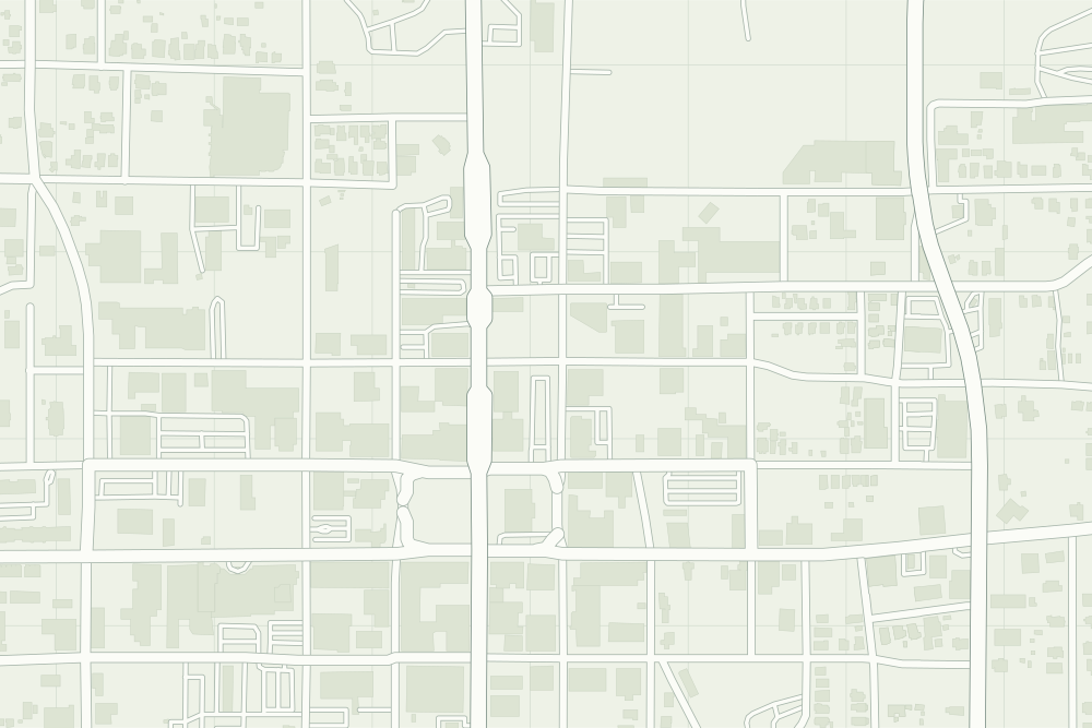
- The pin is the geocode of 210 E. Oakwood St. from OpenStreetMap’s address data, so it is right to the block, not to the building. OpenStreetMap does not map the depot by name.
- Cotton Belt Depot: a filled pin marks the place the sources tie the event to. The dotted ring means right to the block, not the building. 32.35464° N, 95.29932° W, from OpenStreetMap address data.
- Under the plate, the Sanborn map, November 1902 (sheet 1, the key map). It is placed by 12 street crossings that still exist; checked by leaving each out in turn, it is off by about 11 m downtown. How the old maps are placed.
- The faint linework is today’s map, from OpenStreetMap. How the map is made.