1906: Bergfeld Park
A plat, a deed with a deadline, and a purchase.

The record
1906
Rudolph Bergfeld sets aside the land for Bergfeld Park in a plat.1
1909
He deeds it to the city, on condition that park work begin within six months.1
After the deadline
When the park-work deadline has passed, Bergfeld offers to sell the land for $4,000. Our sources do not date the offer.1
June 21, 1913
The city council approves the purchase.1
1934 and 1936
The park, first called South Side Park, hosts the Texas Rose Festival’s coronation in 1934, and gains a stone amphitheater built with $10,000 given in 1936 by Sears, Roebuck president Robert Wood.2
Notes
Tyler Morning Telegraph, 2025-09-07: How the Bergfeld Legacy Continues to Shape Tyler (tylerpaper.com); Tyler Parks and Recreation: Bergfeld Park (tylerparksandrec.com); Tyler Texas Online: Hiking trails and parks (tylertexasonline.com). Research notes
National Register Multiple Property Documentation Form, Historic and Architectural Resources of Tyler, Texas (2001) (atlas.thc.texas.gov). Research notes
Library of Congress, Sanborn Fire Insurance Map from Tyler, Smith County, Texas, Feb. 1912, sheet 1 (loc.gov). Fits neither start date cleanly: the 2000 survey dates the first paving to 1906 and the square to 1907; the 2015 Tyler Morning Telegraph, citing city data, says the first streets were built around 1912. Research notes
About this plate
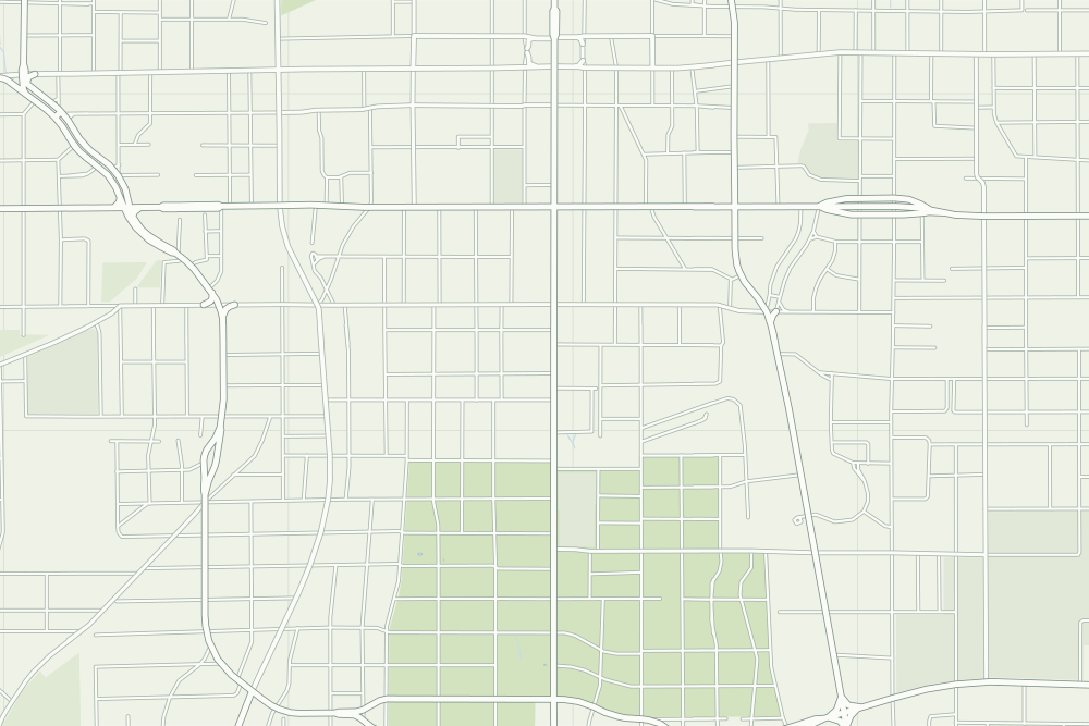
- Bergfeld Park: a filled pin marks the place the sources tie the event to. 32.33301° N, 95.30172° W, from OpenStreetMap way/168494860.
- Under the plate, the Sanborn map, February 1912 (sheet 1, the key map). Its first sheet says ‘About one mile of brick paved streets.’3 It is placed by 19 street crossings that still exist; checked by leaving each out in turn, it is off by about 17 m downtown. How the old maps are placed.
- The faint linework is today’s map, from OpenStreetMap. How the map is made.