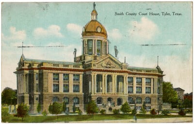
1910: The courthouse in the square
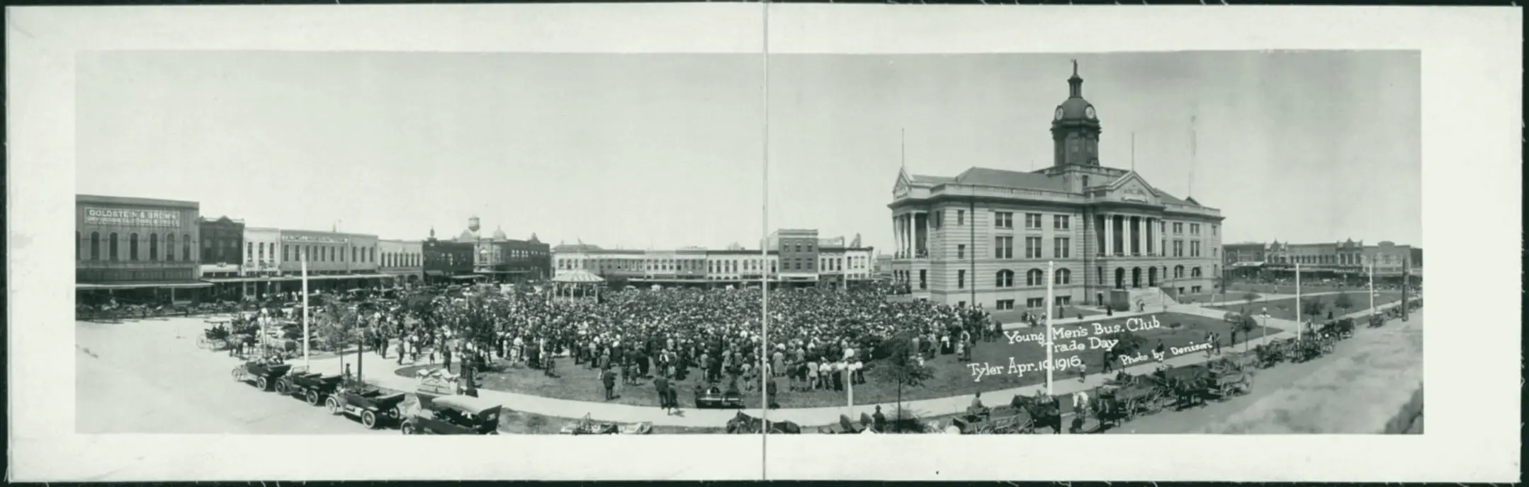
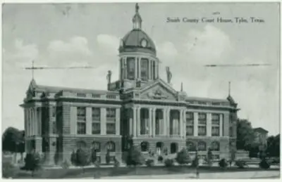
Dedicated in 1910 in the middle of the square, where Broadway now runs; torn down in the 1950s.

The record
1888 to 1908
Residents form the Tyler Electric Light and Power Company in 1888. By 1908 the Tyler Gas Company, set up in 1907, lights the fixtures around the square, and the city engineer builds concrete sidewalks on North Spring Avenue.1
1895 to 1912
A footnote in the downtown nomination counts three documented lynchings at the courthouse square between 1895 and 1912, none of which led to arrests or prosecution, and says newspapers of the period suggest there were others; the jail’s nomination says a district judge ordered many of the 1909 mob arrested.2
1906 and 1907
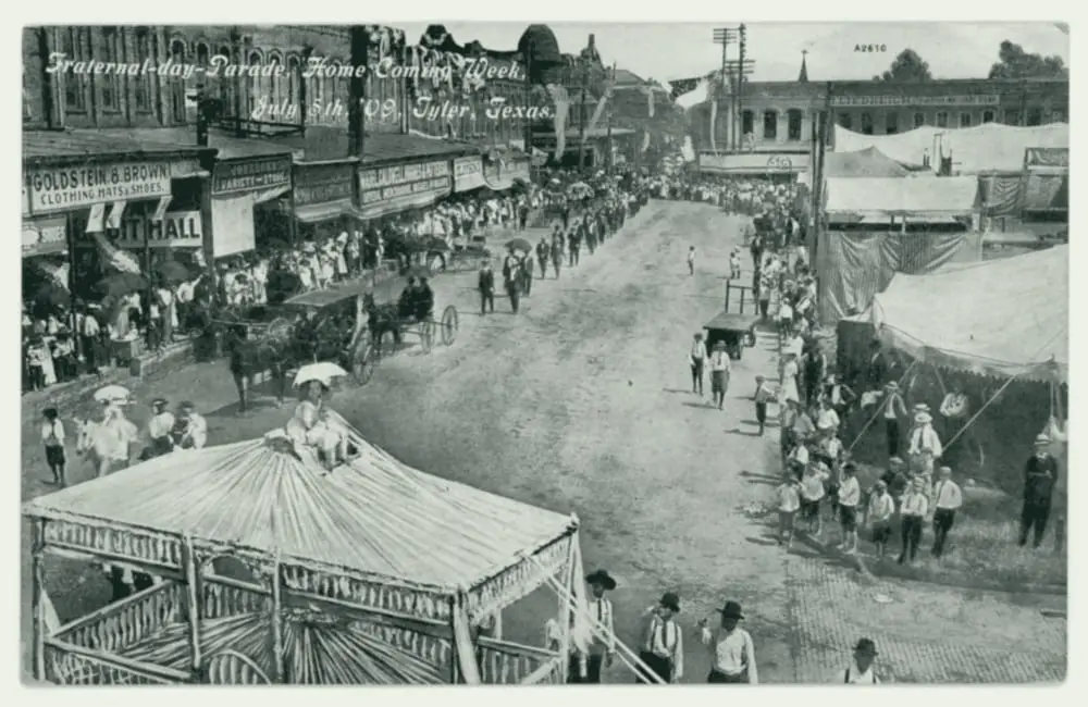
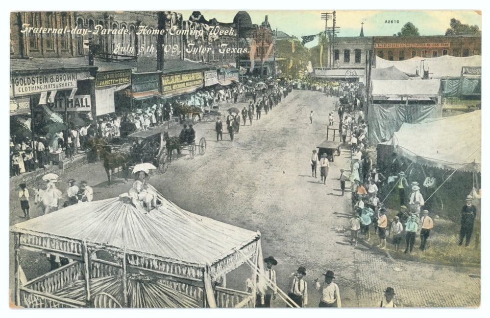
According to the Tyler MPS, paving begins on July 2, 1906, with Thurber red brick at railroad crossings; the streets around the square follow in 1907 with brick from the Mineral Wells Brick Co. The Sanborn map dated September 1907 says ‘streets not paved.’ The Tyler Morning Telegraph, in 2015, put the first brick streets around 1912.34
1908
Work begins on a Classical Revival courthouse in the middle of the square. The Handbook of Texas dates the three-story courthouse to 1909.5
1910
Smith County dedicates the courthouse commonly remembered in the county. It stood where Broadway now runs, and was in use for 45 years.6
February 1912
The Sanborn map of that month says on its first sheet: ‘About one mile of brick paved streets.’7
September 1955
It is torn down, by the Smith County Historical Society’s date; the downtown nomination says it was razed before the new courthouse was built.6
Pictures
Notes
National Register nomination, Tyler Downtown Historic District (NRHP 100008283) (atlas.thc.texas.gov). Research notes
National Register nomination, Tyler Downtown Historic District (NRHP 100008283) (atlas.thc.texas.gov). Research notes
National Register Multiple Property Documentation Form, Historic and Architectural Resources of Tyler, Texas (2001) (atlas.thc.texas.gov). The existing fact brick-paving-began-1906-nomination (Brick Streets nomination) says the 1906 crossings used Thurber brick, consistent with this; the Tyler Morning Telegraph (2015) puts the first brick streets around 1912. Attribute the July 2, 1906 date to the MPS. Research notes
Library of Congress, Sanborn Fire Insurance Map from Tyler, Smith County, Texas, Sept. 1907, sheet 1 (loc.gov). The National Register documents (2000, 2003) say the streets around the courthouse square were paved in 1907, and the 2000 survey dates the first paving (railroad crossings) to July 2, 1906; see sanborn-1907-vs-national-register-square. Research notes
National Register nomination, Tyler Downtown Historic District (NRHP 100008283) (atlas.thc.texas.gov); Handbook of Texas: Tyler, TX (Christopher Long) (tshaonline.org). Research notes
Smith County, Courthouse Planning (including 'The Story of Our Courthouses') (smith-county.com); Smith County Historical Society, 1909 Courthouse young trees (print) (smithcountyhistoricalsociety.org); Smith County Historical Society, 1909 Smith County, Texas Courthouse (print) (smithcountyhistoricalsociety.org). The Handbook dates this courthouse to 1909 and the downtown nomination says construction began in 1908; the county and KETK give a 1910 dedication. The downtown nomination says the county razed it first and then built the new courthouse; the Historical Society dates its demolition to September 1955, the year the new courthouse was dedicated. Research notes
Library of Congress, Sanborn Fire Insurance Map from Tyler, Smith County, Texas, Feb. 1912, sheet 1 (loc.gov). Fits neither start date cleanly: the 2000 survey dates the first paving to 1906 and the square to 1907; the 2015 Tyler Morning Telegraph, citing city data, says the first streets were built around 1912. Research notes
About this plate
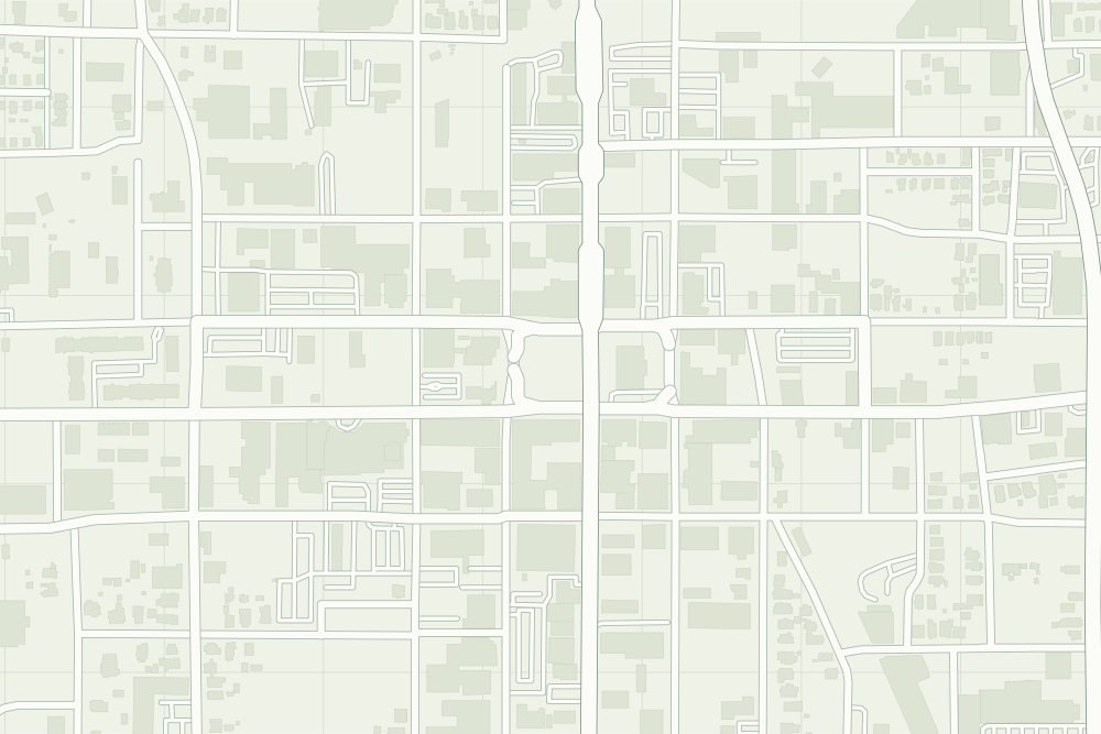
- The pin is worked out from the sources’ words, the middle of the square where Broadway now runs: halfway between Broadway’s crossings with Ferguson and Erwin. The dotted ring means right to the block.
- The 1910 courthouse (site): a filled pin marks the place the sources tie the event to. The dotted ring means right to the block, not the building. 32.35123° N, 95.30064° W, from OpenStreetMap address data.
- Under the plate, the Sanborn map, February 1912 (sheet 1, the key map). Its first sheet says ‘About one mile of brick paved streets.’7 It is placed by 19 street crossings that still exist; checked by leaving each out in turn, it is off by about 17 m downtown. How the old maps are placed.
- The faint linework is today’s map, from OpenStreetMap. How the map is made.