1918: Emmett J. Scott High
Tyler’s high school for Black students, from 1918 until it closed under the integration order in 1970.

The record
1918
Emmett J. Scott High School opens as Tyler’s high school for Black students, named for Wiley College graduate Emmett J. Scott, a Black author, editor and civic leader. Students come from towns such as Chandler that have no high school for them.12
By 1918
Tyler has three movie theaters: the Electric Palace and the Queen for white patrons and the Rapeeds Theater for African Americans. The Queen survives as the Arcadia on North Spring Avenue.3
1931 and 1945
The Pollard nomination says Tyler’s city plans of 1931 and 1945 promoted segregation, recommending that services be withheld from Black neighborhoods near white ones and that Black schools and parks be placed away from white neighborhoods.4
September 1956
The Texas attorney general seizes NAACP records and files suit in Tyler to bar the organization from doing business in Texas; the resulting injunction leaves the group nearly dormant.5
Until 1964
Restrictive covenants on subdivisions and deeds confine Tyler’s African Americans to parts of central, northwest and southwest Tyler, according to the Tyler MPS, until the Civil Rights Act of 1964.6
July 15, 1970
The federal government sues Tyler ISD to desegregate. That July Judge William Wayne Justice rejects the district’s neighborhood-school plan and orders its schools consolidated.7
1970
Emmett J. Scott High closes under the integration order; its students and teachers are sent to John Tyler High School.1
July 8, 1971
After Black and white students were listed separately on a cheerleader ballot at John Tyler High School, Judge Justice sets up a Bi-Racial Committee for Tyler ISD.8
August 2016
U.S. District Judge Michael H. Schneider declares Tyler ISD integrated and dismisses the 1970 desegregation suit.9
Notes
KETK, 'Center of excellence': Emmett J. Scott High School educated Black students in Tyler before integration (Feb. 28, 2023) (digital-release.ketk.com); KLTV, Lion's 1973 State Championship Team Helped Blur The Color Lines (kltv.com). Research notes
KETK, 'Center of excellence': Emmett J. Scott High School educated Black students in Tyler before integration (Feb. 28, 2023) (digital-release.ketk.com). Research notes
National Register Multiple Property Documentation Form, Historic and Architectural Resources of Tyler, Texas (2001) (atlas.thc.texas.gov). Research notes
National Register nomination, Pollard Residential Historic District (2026) (atlas.thc.texas.gov). Research notes
Handbook of Texas: National Association for the Advancement of Colored People (tshaonline.org). Research notes
National Register Multiple Property Documentation Form, Historic and Architectural Resources of Tyler, Texas (2001) (atlas.thc.texas.gov). Research notes
Associated Press via Fox News, East Texas judge ends 1970 desegregation lawsuit in predominantly Hispanic school district (Aug. 27, 2016) (foxnews.com); Tarlton Law Library, William Wayne Justice exhibit: U.S. v. Tyler Independent School District (tarltonapps.law.utexas.edu). Research notes
Tarlton Law Library, William Wayne Justice exhibit: U.S. v. Tyler Independent School District (tarltonapps.law.utexas.edu). Research notes
Associated Press via Fox News, East Texas judge ends 1970 desegregation lawsuit in predominantly Hispanic school district (Aug. 27, 2016) (foxnews.com). Research notes
Library of Congress, Sanborn Fire Insurance Map from Tyler, Smith County, Texas, Aug. 1919, sheet 1 (loc.gov). Names asphalt alongside brick downtown by 1919; City Manager V. W. Prater wrote in 1923 that only about 5 of Tyler's 130 miles of street were paved. Research notes
About this plate
- Emmett J. Scott High is not pinned: the sources say it stood on what is now Martin Luther King Jr. Boulevard, not where on it.
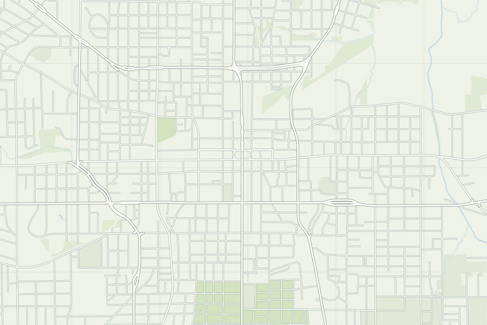
- Under the plate, the Sanborn map, August 1919 (sheet 1, the key map). Its first sheet says the streets in the business section are ‘mostly paved with brick and asphalt.’10 It is placed by 14 street crossings that still exist; checked by leaving each out in turn, it is off by about 14 m downtown. How the old maps are placed.
- The faint linework is today’s map, from OpenStreetMap. How the map is made.