1920: Black Wall Street
Black-owned businesses on the 200 block of East Erwin Street and an alley called Wall.

The record
By 1910
Tyler’s African Americans have at least seven churches, including Bethlehem First Baptist on Front Street and Miles Chapel Methodist; by 1934 there are 16 Black congregations.1
Early 1900s
Black entrepreneurs and professionals buy buildings and run businesses along the 200 block of East Erwin Street and an alley called Wall, an area remembered as Tyler’s ‘Black Wall Street.’2
1920
Tyler’s population is about 77 percent white and 23 percent African American, according to the downtown nomination.3
About 1930 to 1935
Five blocks northwest of the square, J.H. Herndon builds 11 nearly identical bungalows for African American occupants: the Short-Line district, which its nomination calls the only known surviving concentration of intact early- to mid-20th-century housing tied to Tyler’s African American community.4
By 1934
Dr. Archie S. Senate, a Black physician born in Tyler in 1878, moves his practice to 210 East Erwin Street, a building that still carries a ‘SENATE’ plaque; Robert W. Porter’s People’s Cafe also occupies it.5
1934
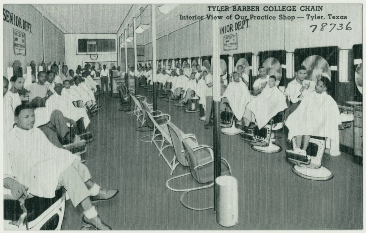
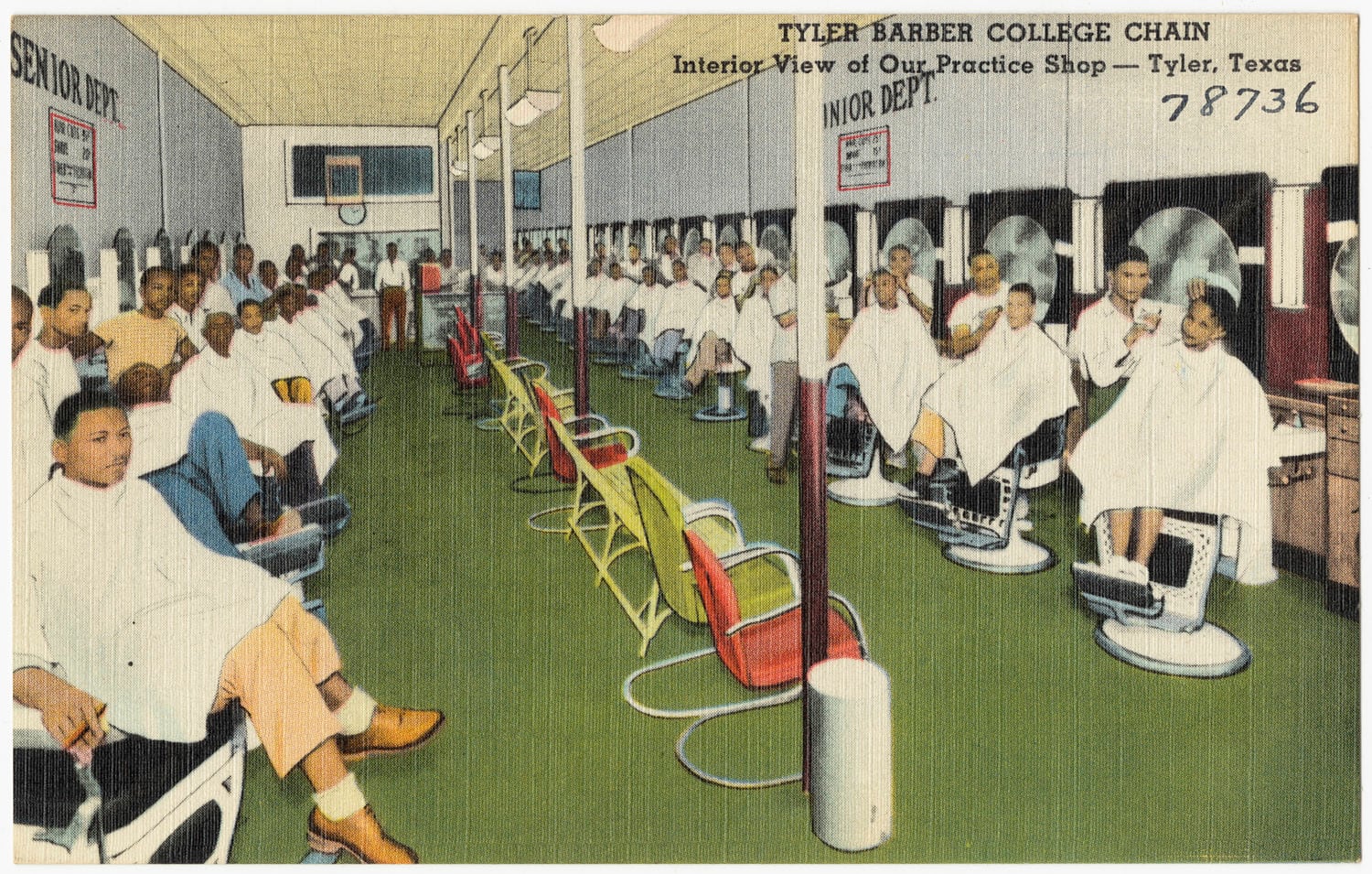
Henry Miller Morgan opens Tyler Barber College at 212 East Erwin Street, which the downtown nomination calls the first barber college for African Americans in the country. It grows into a chain with schools in Houston, Jackson, Mississippi, and Manhattan.2
Today
Several Black-owned businesses, including a shine parlor, cafes and People’s Barber Shop at 216 and 218 East Erwin and the Wall Street Cafe at 224 Wall Street, stood where a parking lot now fills the northwest corner of East Erwin Street and North Fannin Avenue.2
A picture
Notes
National Register Multiple Property Documentation Form, Historic and Architectural Resources of Tyler, Texas (2001) (atlas.thc.texas.gov). Research notes
National Register nomination, Tyler Downtown Historic District (NRHP 100008283) (atlas.thc.texas.gov). Research notes
National Register nomination, Tyler Downtown Historic District (NRHP 100008283) (atlas.thc.texas.gov). Research notes
National Register nomination, Short-Line Residential Historic District (2002) (atlas.thc.texas.gov); THC Atlas, National Register listing: Short-Line Residential Historic District (atlas.thc.texas.gov). Research notes
National Register nomination, Tyler Downtown Historic District (NRHP 100008283) (atlas.thc.texas.gov). Research notes
Library of Congress, Sanborn Fire Insurance Map from Tyler, Smith County, Texas, March 1928, sheet 1 (loc.gov). Counts all paving, not only brick. Compare Prater's about 5 paved miles in 1923 and Bill Large's 1991 talk (machine transcript, on hold): 20 of 185 miles paved in 1930. Research notes
About this plate
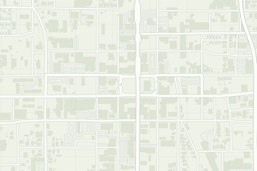
- The pin is the geocode of 210 E. Erwin St., the building with the ‘SENATE’ plaque: right to the block. The parking lot that replaced the other buildings is at the block’s east end, at Fannin.
- Black Wall Street (210 E. Erwin): a filled pin marks the place the sources tie the event to. The dotted ring means right to the block, not the building. 32.35084° N, 95.29935° W, from OpenStreetMap address data.
- Under the plate, the Sanborn map, March 1928 (sheet 1, the key map). Its first sheet says ‘18½ MILES OF PAVING’, without naming the material.6 It is placed by 12 street crossings that still exist; checked by leaving each out in turn, it is off by about 10 m downtown. How the old maps are placed.
- The faint linework is today’s map, from OpenStreetMap. How the map is made.