1926: Tyler Junior College
Ninety-three students and nine faculty, at Tyler High School.

The record
September 17, 1926
Tyler Junior College opens at Tyler High School with 93 students and nine faculty members.1
1924
The 1924 Tyler High School building at 331 South College Avenue, now Caldwell Arts Academy, stands in the downtown district with its 1936 Caldwell Gymnasium.2
Fall 2026
In its 100th year, TJC enrolls a record 13,147 students, nearly 3% above its previous fall record.3
Notes
Tyler Morning Telegraph, 2026-09-13: Record Breaking TJC Enrollment Adds to Centennial Celebration (tylerpaper.com); Handbook of Texas: Tyler Junior College (tshaonline.org); Tyler Morning Telegraph, 2026-09-07: Tyler Junior College Celebrates 100 Years (tylerpaper.com). Research notes
National Register nomination, Tyler Downtown Historic District (NRHP 100008283) (atlas.thc.texas.gov). Research notes
Tyler Morning Telegraph, 2026-09-13: Record Breaking TJC Enrollment Adds to Centennial Celebration (tylerpaper.com). Research notes
Library of Congress, Sanborn Fire Insurance Map from Tyler, Smith County, Texas, Aug. 1919, sheet 1 (loc.gov). Names asphalt alongside brick downtown by 1919; City Manager V. W. Prater wrote in 1923 that only about 5 of Tyler's 130 miles of street were paved. Research notes
About this plate
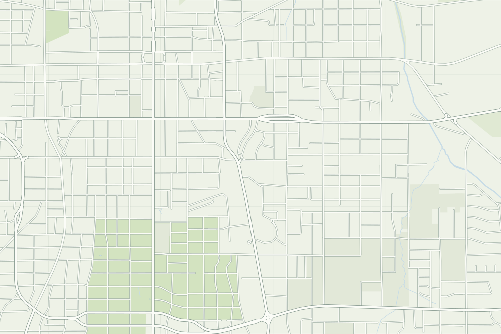
- The hollow pin is the campus on South Baxter Avenue today. The sources do not say the 1926 classes met in the 1924 building on South College Avenue, so it is not pinned.
- Tyler Junior College: a hollow pin marks where it stands today; the sources do not say the event happened there. 32.33497° N, 95.28269° W, from OpenStreetMap way/544444050.
- Under the plate, the Sanborn map, August 1919 (sheet 1, the key map). Its first sheet says the streets in the business section are ‘mostly paved with brick and asphalt.’4 It is placed by 14 street crossings that still exist; checked by leaving each out in turn, it is off by about 14 m downtown. How the old maps are placed.
- The faint linework is today’s map, from OpenStreetMap. How the map is made.