1971: A state college and an art museum
Tyler State College and the Tyler Museum of Art open the same year.
The record
1971
UT Tyler is founded as Tyler State College.1
1971
The Tyler Museum of Art opens, through the efforts of the Junior League of Tyler. It sits on the Tyler Junior College campus at 1300 S. Mahon.2
January 1973
Tyler State College opens upper-division classes in the abandoned O.M. Roberts Junior High School.3
1975
As Texas Eastern University, the college moves to a 200-acre wooded tract in southeast Tyler bordered by Old Omen Road, Patriot Avenue and University Boulevard.31
June 2, 1979
It joins the UT System after Gov. Bill Clements signs Senate Bill 906.1
Fall 2026
UT Tyler’s preliminary fall 2026 enrollment is a record 11,701 students, and its main campus in southeast Tyler covers more than 260 acres.4
Notes
Handbook of Texas: University of Texas at Tyler (tshaonline.org); UT Tyler: At a glance (uttyler.edu). Research notes
Tyler Museum of Art: Museum history (tylermuseum.org). Research notes
Handbook of Texas: University of Texas at Tyler (tshaonline.org). Research notes
Handbook of Texas: University of Texas at Tyler (tshaonline.org); Gilmer Mirror, 2026-09-14: UT Tyler Fall Enrollment Continues Growth Trend (gilmermirror.com); UT Tyler: At a glance (uttyler.edu). Enrollment is preliminary. Research notes
About this plate
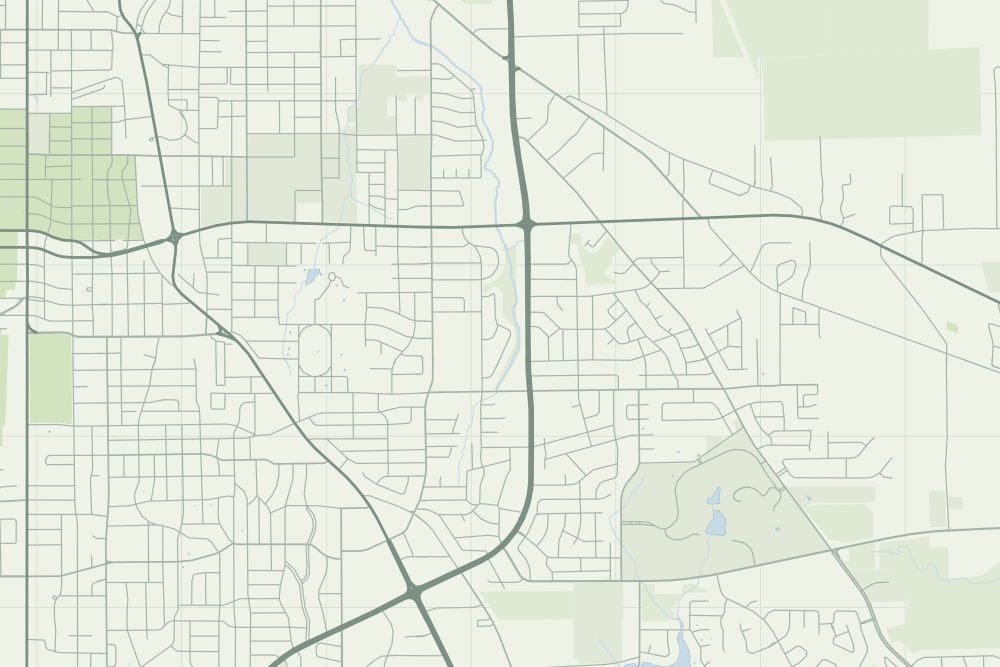
- Both pins are hollow: they mark the campuses as they stand today. The college’s first classes, in 1973, met in a junior high school the sources name but do not place.
- UT Tyler: a hollow pin marks where it stands today; the sources do not say the event happened there. 32.31537° N, 95.25346° W, from OpenStreetMap way/231354268.
- Tyler Museum of Art: a hollow pin marks where it stands today; the sources do not say the event happened there. 32.33407° N, 95.28158° W, from OpenStreetMap node/1798251452.
- The faint linework is today’s map, from OpenStreetMap. How the map is made.